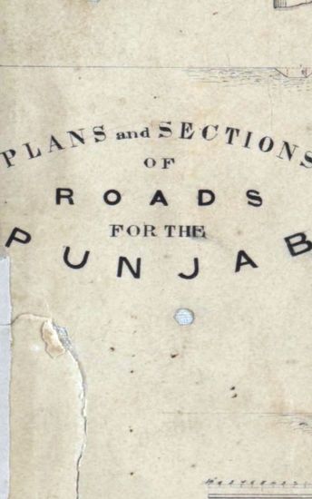
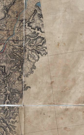
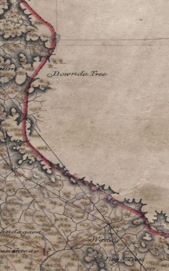
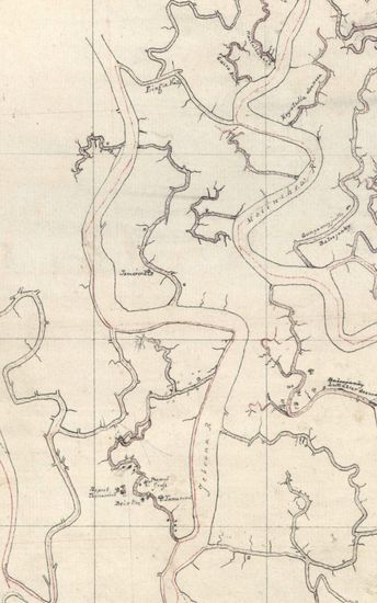
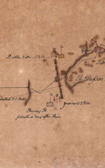
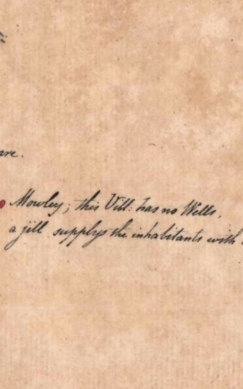
RAJANPUR Plans and Sections of Roads for the Punjab. Drawn by H. Dldered Not dated.
| Department | Survey Of India (Maps) |
| Place | Rajanpur |
| Series | Historical Maps |
| Identifier | CR_000002286561 |
| File No. | F10-15 |
| Scale | 1 - 5.1/2. |
| File Size | 0.8 MB |
| Pages | 1 |
| Collection | Digitized Cartographic Records |
| Series | Historical Maps |
-
538 views
Other Similar Items
-
- 519 Views
- RAJANPUR Plans and Sections of Roads for the Punja...
- Department: Survey Of India (Maps)
-
- 312 Views
- Hyderabad Size of the map , in 5 sections, is 110 ...
- Department: Survey Of India (Maps)
-
- 297 Views
- Hyderabad Size of the map , in 5 sections, is 110 ...
- Department: Survey Of India (Maps)
-
- 353 Views

- Hyderabad Size of the map , in 5 sections, is 110 ...
- Department: Survey Of India (Maps)
-
- 251 Views
- Sundarbans Size:76 cm x 55cm, between borders; ea...
- Department: Survey Of India
-
- 460 Views
- India Size: Twenty three sections of 38cm x54cm,ac...
- Department: Survey Of India (Maps)
-
- 240 Views
- India Size: Twenty three sections of 38cm x54cm,ac...
- Department: Survey Of India (Maps)
-
- 193 Views
- Hazara Size : 139.8 cm x 177.8 cm, between borders...
- Department: Survey Of India (Maps)
-
- 182 Views
- Hazara Size : 139.8 cm x 177.8 cm, between borders...
- Department: Survey Of India (Maps)
-
- 187 Views

- Hazara Size : 139.8 cm x 177.8 cm, between borders...
- Department: Survey Of India (Maps)