13 Items found in 0.06 seconds
Results
-
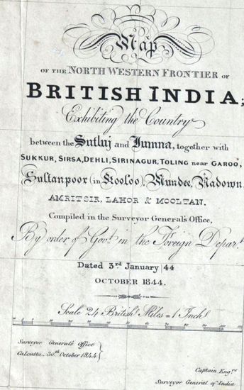
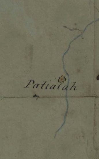
- PUNJAB Map of the Norethern Frontier of British India exhibiting the Country between the Sutlej and Jumna together with Sukkur, Sirsa, Delhi, Srinagur, Toling near Garoo, Sultanpoor, in Kooloo Mundee, Nadown, Amritsir, Lahore, and Mooltan, Compiled in 1844.
- Department: Survey Of India (Maps)
- Year: 1844
- Place : Punjab
- Digitized Collection : Digitized Cartographic Records
- Held by : National Archives of India
- Date of Upload: 2018-01-06
- 2933 Views
-
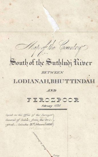
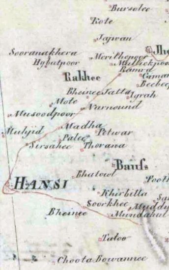
- PUNJAB Map of the country South of the Suthludj River between Lodianah Bhuttindah, and ferozepoor, Surveyed in 1835. Copied by Shaikh Khadem Ally in 1835.
- Department: Survey Of India (Maps)
- Year: 1835
- Place : Punjab
- Digitized Collection : Digitized Cartographic Records
- Held by : National Archives of India
- Date of Upload: 2018-01-06
- 1067 Views
-
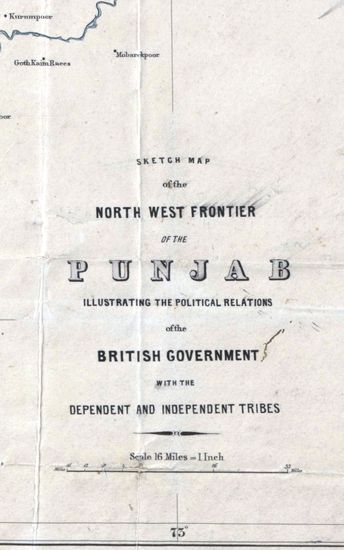
- PUNJAB Sketch map of the North West Frontier of the Punjab, illustrating the Political relations of the British Government with the Dependent and Independent Tribes . Drawn by J.O.N James.1866.
- Department: Survey Of India (Maps)
- Year: 1866
- Place : Punjab
- Digitized Collection : Digitized Cartographic Records
- Held by : National Archives of India
- Date of Upload: 2018-01-06
- 890 Views
-
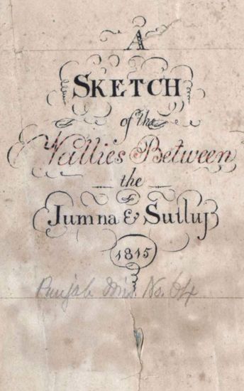
- PUNJAB Sketch of th valllies between jumna and Sutluj. 1815.
- Department: Survey Of India (Maps)
- Year: 1815
- Place : Punjab
- Digitized Collection : Digitized Cartographic Records
- Held by : National Archives of India
- Date of Upload: 2018-01-06
- 809 Views
-
- PUNJAB Route of Col. Ochterlony From Loodianah Down the Hill Frontier in Nov.1813.(Also shows the positions of the Goorkhas)1813.
- Department: Survey Of India (Maps)
- Year: 1813
- Place : Punjab
- Digitized Collection : Digitized Cartographic Records
- Held by : National Archives of India
- Date of Upload: 2018-01-06
- 319 Views
-
- PUNJAB Route of the Field under Brigadier Arnold. G.B. on the Scikh frontier .Survyed by Lt. J. Colvin 1818.Copied by T. Lockwood.
- Department: Survey Of India (Maps)
- Year: 1818
- Place : Punjab
- Digitized Collection : Digitized Cartographic Records
- Held by : National Archives of India
- Date of Upload: 2018-01-06
- 332 Views
-
- PUNJAB Route of the Field under Brigadier Arnold. G.B on the Scikh Frontier .Surveyed By Lt. J. Colvin. 1818. Copied by G.K Hudson in 1830..
- Department: Survey Of India (Maps)
- Year: 1818
- Place : Punjab
- Digitized Collection : Digitized Cartographic Records
- Held by : National Archives of India
- Date of Upload: 2018-01-06
- 222 Views
-
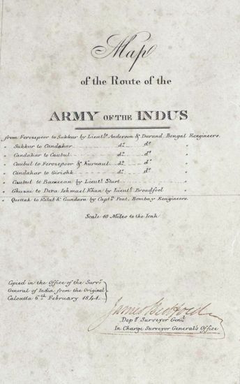
- PUNJAB Map of the Route of the Army of the Indus. Copied in 1841.
- Department: Survey Of India (Maps)
- Year: 1841
- Place : Punjab
- Digitized Collection : Digitized Cartographic Records
- Held by : National Archives of India
- Date of Upload: 2018-01-06
- 252 Views
-
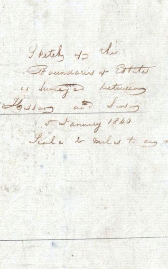
- PUNJAB Sketch of the boundaries of Estates surveyed between Hissar and Sirsa.1840.
- Department: Survey Of India (Maps)
- Year: 1840
- Place : Punjab
- Digitized Collection : Digitized Cartographic Records
- Held by : National Archives of India
- Date of Upload: 2018-01-06
- 260 Views
-
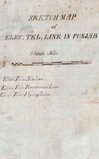
- PUNJAB Sketch map of Electric telegraph line in punjab .1872.
- Department: Survey Of India (Maps)
- Year: 1872
- Place : Punjab
- Digitized Collection : Digitized Cartographic Records
- Held by : National Archives of India
- Date of Upload: 2018-01-06
- 267 Views
-
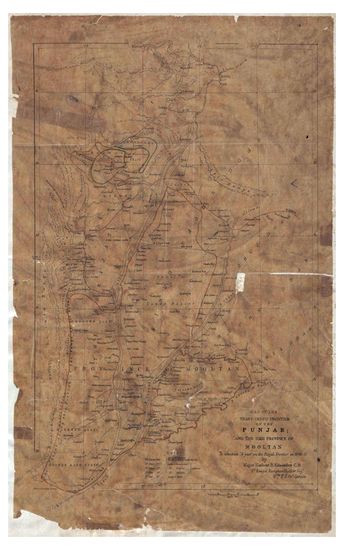
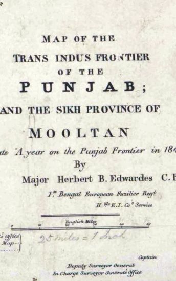
- PUNJAB Map of the Trans-Indus Fronteir of Punjab and the Sikh Province of Mooltan, to illustrate, A year on the Punjab Survey frontier in 1848-49 Suveyed by Maj Herbert B.Edwards, 1848-49.
- Department: Survey Of India (Maps)
- Year: 1848
- Place : Punjab
- Keywords : Herbert B. Edwardes
- Digitized Collection : Digitized Cartographic Records
- Held by : National Archives of India
- Date of Upload: 2018-01-06
- 494 Views
-
- PUNJAB Map of the Trans.Indus Frontier of th ePunjab and the sikh Province of Mooltan, to illustrate A year on the Punjab Survey Frontier in 1848-49Copied from Arrowsmith map in 1851.
- Department: Survey Of India (Maps)
- Year: 1848
- Place : Punjab
- Digitized Collection : Digitized Cartographic Records
- Held by : National Archives of India
- Date of Upload: 2018-01-06
- 429 Views
-
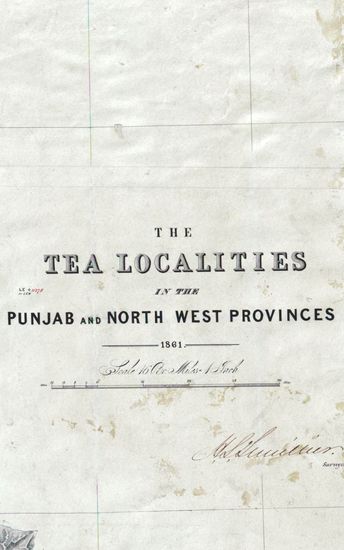
- PUNJAB The Tea localities in the punjab and North West Province.Compiled by J.P Namey 1861.
- Department: Survey Of India (Maps)
- Year: 1861
- Place : Punjab
- Digitized Collection : Digitized Cartographic Records
- Held by : National Archives of India
- Date of Upload: 2018-01-06
- 193 Views
-
- 2933 Views
- PUNJAB Map of the Norethern Frontier of British In...
- Department: Survey Of India (Maps)
- Year: 1844
-
- 1067 Views
- PUNJAB Map of the country South of the Suthludj Ri...
- Department: Survey Of India (Maps)
- Year: 1835
-
- 890 Views
- PUNJAB Sketch map of the North West Frontier of th...
- Department: Survey Of India (Maps)
- Year: 1866
-
- 809 Views
- PUNJAB Sketch of th valllies between jumna and Sut...
- Department: Survey Of India (Maps)
- Year: 1815
-
- 319 Views
- PUNJAB Route of Col. Ochterlony From Loodianah Dow...
- Department: Survey Of India (Maps)
- Year: 1813
-
- 332 Views
- PUNJAB Route of the Field under Brigadier Arnold. ...
- Department: Survey Of India (Maps)
- Year: 1818
-
- 222 Views
- PUNJAB Route of the Field under Brigadier Arnold. ...
- Department: Survey Of India (Maps)
- Year: 1818
-
- 252 Views
- PUNJAB Map of the Route of the Army of the Indus. ...
- Department: Survey Of India (Maps)
- Year: 1841
-
- 260 Views
- PUNJAB Sketch of the boundaries of Estates surveye...
- Department: Survey Of India (Maps)
- Year: 1840
-
- 267 Views
- PUNJAB Sketch map of Electric telegraph line in pu...
- Department: Survey Of India (Maps)
- Year: 1872
-
- 494 Views
- PUNJAB Map of the Trans-Indus Fronteir of Punjab a...
- Department: Survey Of India (Maps)
- Year: 1848
-
- 429 Views
- PUNJAB Map of the Trans.Indus Frontier of th ePunj...
- Department: Survey Of India (Maps)
- Year: 1848
-
- 193 Views
- PUNJAB The Tea localities in the punjab and North ...
- Department: Survey Of India (Maps)
- Year: 1861