Publication of the Fourth Edition of the Map of India , Scale 1inch=32 miles. Decision in regard to the colours to be employed to indicate various classes of territory on the Map of India. Preparation for India Office ofa Special map of the North West Frontier. History and Defination of Boundary between ashmir and Eastern Turistan.
| Department | Foreign |
| Branch | Secret |
| From Year / Date (YYYY-MM-DD) |
1908-02 |
| To Year / Date (YYYY-MM-DD) |
1908-02 |
| Identifier | PR_000001177952 |
| File No. | Progs., Nos. 40-51, February 1908 |
| Part | PART F |
-
20 views

The National Archives of India is on a mission to digitize and make available online each and every record in its repositories. This is an ongoing effort and some records will be made available before the others.
Hereby you can give us your request for a particular record and we shall digitize and make it available on priority, at a fee, subject to its availability in legitimate conditions.
Other Similar Items
-
- 741 Views
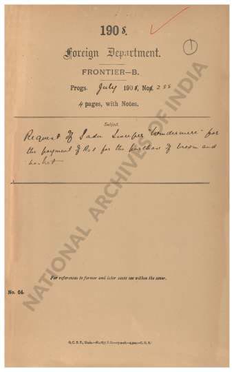
- Request of Sadu Sweeper Windermere for the payment...
- Department: Foreign
- Branch: Frontier-B
- Year / Date: 1909
-
- 332 Views
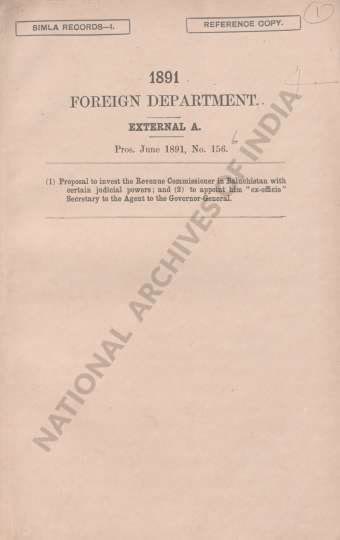
- (1) Proposal to invest the Revenue Commissioner in...
- Department: Foreign
- Branch: Frontier-B
- Year / Date: 1908
-
- 505 Views
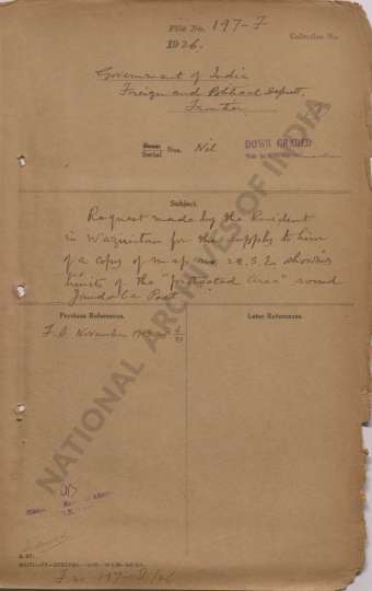
- Request made by the Resident in Waziristan for the...
- Department: Foreign
- Branch: Frontier-B
- Year / Date: 1893
-
- 453 Views

- Reappropriation of a sum of Rs 106-13-10 from the ...
- Department: Foreign
- Branch: External-B
- Year / Date: 1904
-
- 68 Views
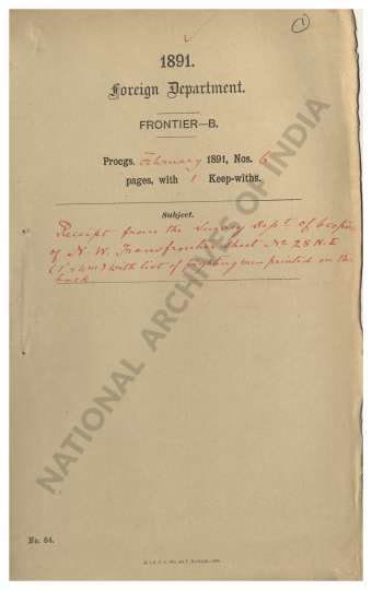
- Receipt from the Survey Dept. of 6 copies of N.W. ...
- Department: Foreign
- Branch: Frontier-B
- Year / Date: 1891
-
- 13 Views
- Receipt from the Survey of India Department of 11 ...
- Department: Foreign
- Branch: Frontier
- Year / Date: 1904-10
-
- 492 Views
- Supply by Intelligence Branch of 9 copies of Notes...
- Department: Foreign
- Branch: Frontier-B
- Year / Date: 1893
-
- 12 Views
- Approval to the delineation of a portion of the Te...
- Department: Foreign and Political
- Branch: Frontier-B
- Year / Date: 1921
-
- 5 Views

- Approval of map showing a portion of Indo Afghan b...
- Department: Foreign and Political
- Branch: Frontier
- Year / Date: 1930
-
- 6 Views
- Sanction to the map of Southern China prepared by ...
- Department: Foreign
- Branch: External-B
- Year / Date: 1900