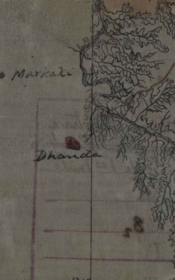
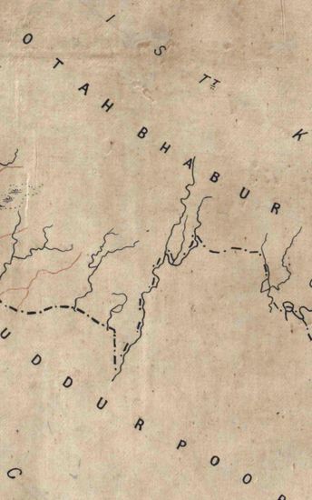
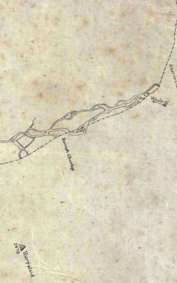
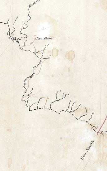
Jhelum Size 116.0 cm x 188.3 cm ,actual area; in six sections. Latitudes from 32025’N to 3305’N and longitudes from 71045’E to 72050’E marked and numbered; hand-drawn on tracing cloth; not much topographical details given except relief and rivers; relief shown as horizontal contours in grey tint and routes marked as single lines of burnt sienna; sections signed by D .G.Robinson, in ink ; map 33C also bears the signature of Lt. Col. A.S. Waugh, Surveyor General of India.
| Department | Survey Of India (Maps) |
| Place | Jhelum |
| Series | Cartographic Notes |
| Identifier | CR_000002286624 |
| File No. | 1841-60-33 |
| Scale | 116.0 cm x 188.3 cm |
| Collection | Digitized Cartographic Records |
| Series | Cartographic Notes |
-
195 views
Other Similar Items
-
- 204 Views
- Jhelum Size 116.0 cm x 188.3 cm ,actual area; in s...
- Department: Survey Of India (Maps)
-
- 206 Views
- Jhelum Size 116.0 cm x 188.3 cm ,actual area; in s...
- Department: Survey Of India (Maps)
-
- 243 Views

- Jhelum Size 116.0 cm x 188.3 cm ,actual area; in s...
- Department: Survey Of India (Maps)
-
- 218 Views
- Jhelum Size 116.0 cm x 188.3 cm ,actual area; in s...
- Department: Survey Of India (Maps)
-
- 219 Views

- Jhelum Size 116.0 cm x 188.3 cm ,actual area; in s...
- Department: Survey Of India (Maps)
-
- 359 Views
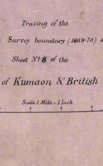
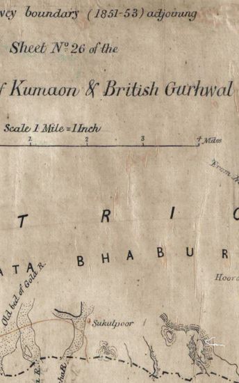
- Kumaon Size of map 35: 78.0 cm x 134.5 cm, actual ...
- Department: Survey Of India (Maps)
-
- 244 Views
- Kumaon Size of map 35: 78.0 cm x 134.5 cm, actual ...
- Department: Survey Of India (Maps)
-
- 261 Views
- Kumaon Size of map 35: 78.0 cm x 134.5 cm, actual ...
- Department: Survey Of India (Maps)
-
- 289 Views
- Kumaon Size of map 35: 78.0 cm x 134.5 cm, actual ...
- Department: Survey Of India (Maps)
-
- 281 Views
- Kumaon Size of map 35: 78.0 cm x 134.5 cm, actual ...
- Department: Survey Of India (Maps)