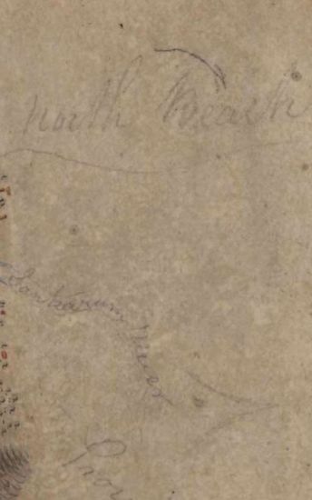
Sundarbans Size: 73.2 cm x 54cm, actual area; in one sheet. No borders drawn but parallels numbered on the western edges only from 21 30N, Hand -drawn in black ink and coloured ; marshes and rivers coloured with blue; roads in single lines coloured with light burnt sienna and towns in dark burnt sienna; graticules marked in pencil on the south -west corner of the map. This seems to be an incomplete map.
| Keywords | Hugh Morrieson |
| Department | Survey Of India |
| From Year / Date (YYYY-MM-DD) |
1818 |
| To Year / Date (YYYY-MM-DD) |
1818 |
| Place | Sunderbans |
| Series | Cartographic Notes |
| Identifier | CR_000002286448 |
| File No. | 1801-20-4(A) |
| Scale | 73.2 cm x 54cm |
| File Size | 4.1 MB |
| Pages | 1 |
| Collection | Digitized Cartographic Records |
| Series | Cartographic Notes |
-
270 views
Other Similar Items
-
- 344 Views

- Dindigul Sizes of various sections very between 33...
- Department: Survey Of India (Maps)
-
- 154 Views
- Goa Size; 17 cm x31.5 cm, actual area; in one shee...
- Department: Survey Of India
- Year / Date: 1811-05-18
-
- 290 Views
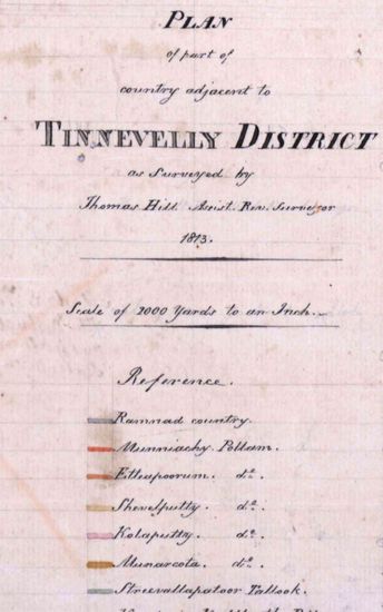
- Tinnevelly Size: 57 cm x 65 cm , actual area; two ...
- Department: Survey Of India
- Year / Date: 1813
-
- 273 Views

- Tinnevelly Size: 80 cm x 89.5 cm, actual areas; in...
- Department: Survey Of India
- Year / Date: 1811
-
- 318 Views
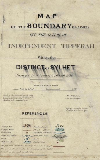
- Sylhet Size: 98.3 cm x 91.5 cm, between borders; i...
- Department: Survey Of India (Maps)
-
- 343 Views

- Tinnevelly Size: 80 cm x 96cm,actual area; five sh...
- Department: Survey Of India (Maps)
- Year / Date: 1810
-
- 251 Views
- Sundarbans Size:76 cm x 55cm, between borders; ea...
- Department: Survey Of India
-
- 390 Views
- Kashmir Size 51.1 cm x 63. 3 cm, between borders; ...
- Department: Survey Of India (Maps)
-
- 295 Views
- Hyderabad Size of the map , in 5 sections, is 110 ...
- Department: Survey Of India (Maps)
-
- 352 Views

- Hyderabad Size of the map , in 5 sections, is 110 ...
- Department: Survey Of India (Maps)