PUNJAB Sketch map of the North West Frontier of the Punjab, illustrating the Political relations of the British Government with the Dependent and Independent Tribes . Drawn by J.O.N James.1866.
| Department | Survey Of India (Maps) |
| From Year / Date (YYYY-MM-DD) |
1866 |
| To Year / Date (YYYY-MM-DD) |
1866 |
| Place | Punjab |
| Series | Historical Maps |
| Identifier | CR_000002286560 |
| File No. | F10-11 |
| Scale | 1 - 16 miles. |
| File Size | 7.5 MB |
| Pages | 1 |
| Collection | Digitized Cartographic Records |
| Series | Historical Maps |
-
886 views
Other Similar Items
-
- 730 Views
- Request of Sadu Sweeper Windermere for the payment...
- Department: Foreign
- Branch: Frontier-B
- Year / Date: 1909
-
- 499 Views
- Request made by the Resident in Waziristan for the...
- Department: Foreign
- Branch: Frontier-B
- Year / Date: 1893
-
- 326 Views
- (1) Proposal to invest the Revenue Commissioner in...
- Department: Foreign
- Branch: Frontier-B
- Year / Date: 1908
-
- 481 Views
- Supply by Intelligence Branch of 9 copies of Notes...
- Department: Foreign
- Branch: Frontier-B
- Year / Date: 1893
-
- 33 Views
-
- 18 Views
-
- 11 Views

-
- 8 Views
-
- 527 Views
- Change in the spelling of the name of the Indian A...
- Department: Ministry of Home Affairs
- Branch: Public I
- Year / Date: 1966
-
- 323 Views
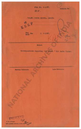
- Correspondence regading the Naresh Kot Radha Kisha...
- Department: Foreign and Political
- Branch: External-B
- Year / Date: 1914