PUNJAB Map of the Norethern Frontier of British India exhibiting the Country between the Sutlej and Jumna together with Sukkur, Sirsa, Delhi, Srinagur, Toling near Garoo, Sultanpoor, in Kooloo Mundee, Nadown, Amritsir, Lahore, and Mooltan, Compiled in 1844.
| Department | Survey Of India (Maps) |
| From Year / Date (YYYY-MM-DD) |
1844 |
| To Year / Date (YYYY-MM-DD) |
1844 |
| Place | Punjab |
| Series | Historical Maps |
| Identifier | CR_000002286566 |
| File No. | F11-1 |
| Scale | 1 - 24 miles. |
| File Size | 5.4 MB |
| Pages | 1 |
| Collection | Digitized Cartographic Records |
| Series | Historical Maps |
-
2920 views
Other Similar Items
-
- 484 Views
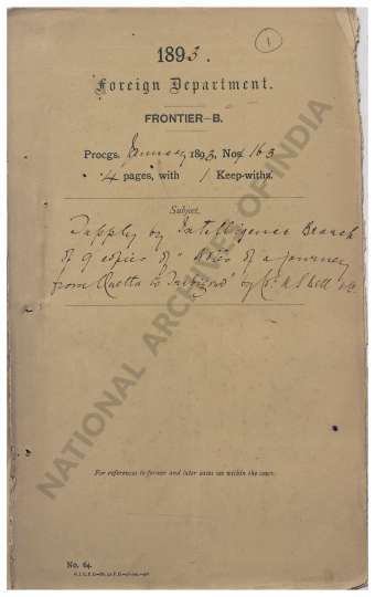
- Supply by Intelligence Branch of 9 copies of Notes...
- Department: Foreign
- Branch: Frontier-B
- Year / Date: 1893
-
- 500 Views
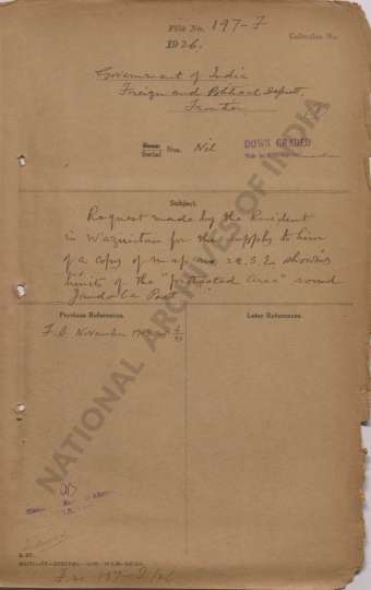
- Request made by the Resident in Waziristan for the...
- Department: Foreign
- Branch: Frontier-B
- Year / Date: 1893
-
- 89 Views

- Forward a Route Map from Deesa to Sukkur and from ...
- Department: Military
- Branch: Letter To Court From Bombay
- Year / Date: 1849-02
-
- 424 Views
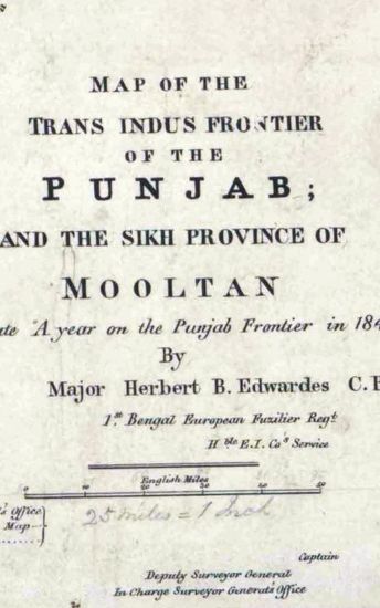
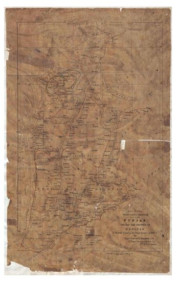
- PUNJAB Map of the Trans.Indus Frontier of th ePunj...
- Department: Survey Of India (Maps)
- Year / Date: 1848
-
- 488 Views
- PUNJAB Map of the Trans-Indus Fronteir of Punjab a...
- Department: Survey Of India (Maps)
- Year / Date: 1848
-
- 446 Views

- Reappropriation of a sum of Rs 106-13-10 from the ...
- Department: Foreign
- Branch: External-B
- Year / Date: 1904
-
- 731 Views
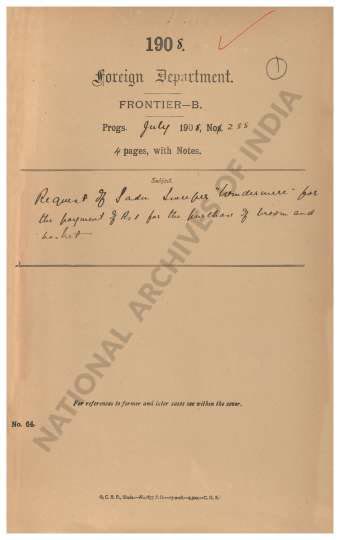
- Request of Sadu Sweeper Windermere for the payment...
- Department: Foreign
- Branch: Frontier-B
- Year / Date: 1909
-
- 91 Views
- Bringing up to date the Quarter -inch maps of the ...
- Department: Revenue & Agriculture
- Branch: Land Revenue
- Year / Date: 1883-10
-
- 341 Views
- Tinnevelly Size: 97cm x 100.5 cm , actual area; tw...
- Department: Survey Of India (Maps)
- Year / Date: 1810
-
- 327 Views
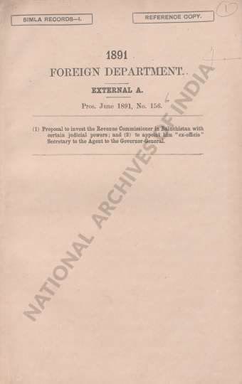
- (1) Proposal to invest the Revenue Commissioner in...
- Department: Foreign
- Branch: Frontier-B
- Year / Date: 1908