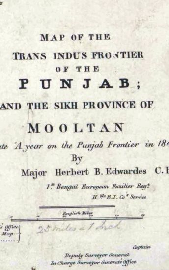
PUNJAB Map of the Trans-Indus Fronteir of Punjab and the Sikh Province of Mooltan, to illustrate, A year on the Punjab Survey frontier in 1848-49 Suveyed by Maj Herbert B.Edwards, 1848-49.
| Keywords | Herbert B. Edwardes |
| Department | Survey Of India (Maps) |
| From Year / Date (YYYY-MM-DD) |
1848 |
| To Year / Date (YYYY-MM-DD) |
1848 |
| Place | Punjab |
| Series | Historical Maps |
| Identifier | CR_000002286567 |
| File No. | F11-2 |
| Scale | 1 - 25 miles. |
| File Size | 2.0 MB |
| Pages | 1 |
| Collection | Digitized Cartographic Records |
| Series | Historical Maps |
-
488 views
Other Similar Items
-
- 424 Views
- PUNJAB Map of the Trans.Indus Frontier of th ePunj...
- Department: Survey Of India (Maps)
- Year / Date: 1848
-
- 500 Views
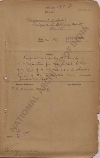
- Request made by the Resident in Waziristan for the...
- Department: Foreign
- Branch: Frontier-B
- Year / Date: 1893
-
- 484 Views
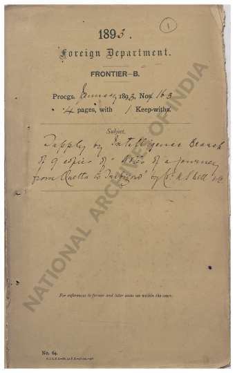
- Supply by Intelligence Branch of 9 copies of Notes...
- Department: Foreign
- Branch: Frontier-B
- Year / Date: 1893
-
- 327 Views
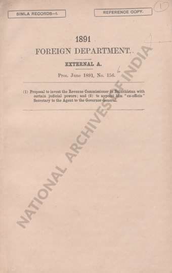
- (1) Proposal to invest the Revenue Commissioner in...
- Department: Foreign
- Branch: Frontier-B
- Year / Date: 1908
-
- 693 Views
- Supply of 5 copies of the Report on the Reconnaiss...
- Department: Foreign
- Branch: External-B
- Year / Date: 1892
-
- 731 Views
- Request of Sadu Sweeper Windermere for the payment...
- Department: Foreign
- Branch: Frontier-B
- Year / Date: 1909
-
- 446 Views

- Reappropriation of a sum of Rs 106-13-10 from the ...
- Department: Foreign
- Branch: External-B
- Year / Date: 1904
-
- 67 Views
- Receipt from the Survey Dept. of 6 copies of N.W. ...
- Department: Foreign
- Branch: Frontier-B
- Year / Date: 1891
-
- 6 Views

- Supply to the Director Map Publication Survey of I...
- Department: Foreign and Political
- Branch: External
- Year / Date: 1935
-
- 4 Views
- A copy of the agreement between the British govern...
- Department: Foreign and Political
- Branch: External
- Year / Date: 1935