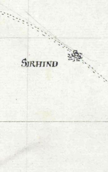
NURPUR Rough sketch of Noorpoor. Surveyed by Captain T.C Blgrave, 1851. drawn from the original by Kalleemoodden 1851.
| Department | Survey Of India (Maps) |
| From Year / Date (YYYY-MM-DD) |
1851 |
| To Year / Date (YYYY-MM-DD) |
1851 |
| Place | Nurpur |
| Series | Historical Maps |
| Identifier | CR_000002286575 |
| File No. | F10-13 |
| Scale | 1 - 4 miles. |
| File Size | 1.7 MB |
| Pages | 1 |
| Collection | Digitized Cartographic Records |
| Series | Historical Maps |
-
130 views
Other Similar Items
-
- 149 Views
- LUDHIANA A rough sketch of Col. Octherlonys Route ...
- Department: Survey Of India (Maps)
- Year / Date: 1809
-
- 282 Views
- Khandesh Size 210cm x 189.5cm , actual areas, 10 s...
- Department: Survey Of India
-
- 474 Views
- Sundarbans Size 69cmx106cm; between borders 2 shee...
- Department: Survey Of India (Maps)
-
- 349 Views
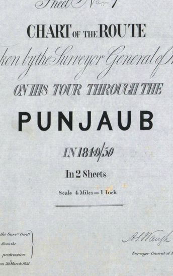
- PUNJAB Chart of the Route taken by the Surveyor Ge...
- Department: Survey Of India (Maps)
- Year / Date: 1851
-
- 4 Views

- Demobilisation in Mesopotamia of Captains A.E. Bio...
- Department: Foreign and Political
- Branch: Establishment-B
- Year / Date: 1921
-
- 327 Views
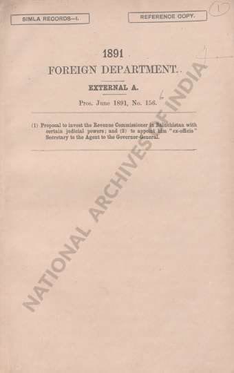
- (1) Proposal to invest the Revenue Commissioner in...
- Department: Foreign
- Branch: Frontier-B
- Year / Date: 1908
-
- 344 Views

- Dindigul Sizes of various sections very between 33...
- Department: Survey Of India (Maps)
-
- 250 Views
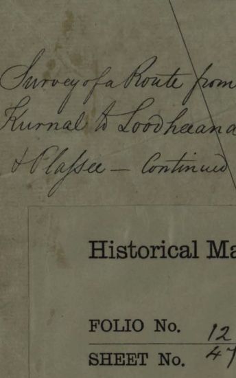
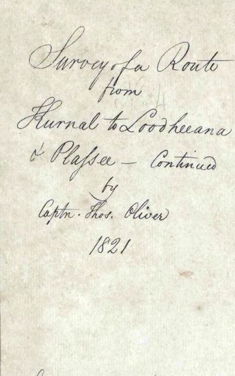
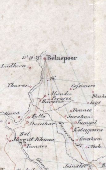
- KARNAL Survey of Route from Kurnal to Loodheeana a...
- Department: Survey Of India (Maps)
- Year / Date: 1821
-
- 207 Views
- KARNAL Survey of Route from Kurnal Loodheeana and...
- Department: Survey Of India (Maps)
- Year / Date: 1821
-
- 285 Views
- GARHWAL Map of the continuation of the Garwal Surv...
- Department: Survey Of India (Maps)
- Year / Date: 1822