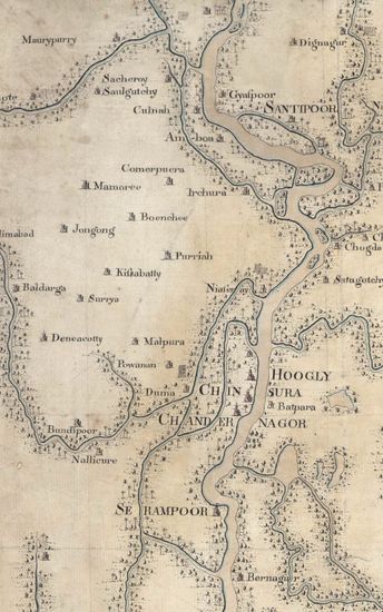
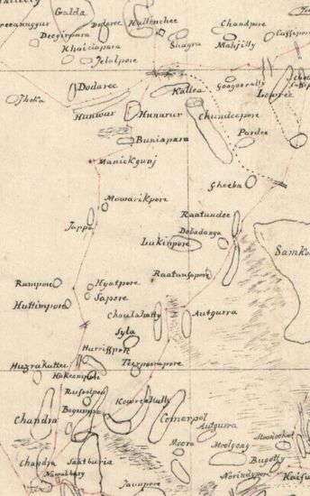
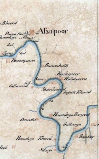
Jungle Terry Size: 52 cmx74cm between borders in one sheet. Coordinates drawn and numbered; Bhagalpur as 0 Meridian; 24 N and 25 N latitudes numbered and logitudes 0 M eridian, 1 W and 1 Eof Bhagal-shown blank with remarks country unexplored by Europeans' in the region west of Bhagalpur and north of Ramagar; mountain shown as rows of beautifully drawn and delicately coloured in light grey of varying tones denoting shades; rivers in different colours with reference tables to explain them ; and signed by George Everest ; Surveyor General of India. A beautiful specimen of topographical maps. Watermark: RUSE& TURNERS 1827.
| Keywords | W. Franklin |
| Department | Survey Of India |
| Place | Jungle Terry |
| Series | Cartographic Notes |
| Identifier | CR_000002286461 |
| File No. | 1801-20-6(A) |
| Scale | 52 cmx74cm |
| File Size | 5.2 MB |
| Pages | 1 |
| Collection | Digitized Cartographic Records |
| Series | Cartographic Notes |
-
251 views
Other Similar Items
-
- 631 Views

- Bengal Size:86cmx98.5cm,between borders; 2 sheets,...
- Department: Survey Of India (Maps)
-
- 474 Views
- Sundarbans Size 69cmx106cm; between borders 2 shee...
- Department: Survey Of India (Maps)
-
- 318 Views
- Sylhet Size: 98.3 cm x 91.5 cm, between borders; i...
- Department: Survey Of India (Maps)
-
- 244 Views
- Sundarbans Size: 75.5 cm x 54cm, actual area; in o...
- Department: Survey Of India
- Year / Date: 1813
-
- 211 Views

- Sundarbans Size: 72.5cmx 51cm, between borders; in...
- Department: Survey Of India
- Year / Date: 1813
-
- 205 Views

- Sundarbans Size: 94.5 cm x 27.5cm , actual area ; ...
- Department: Survey Of India
- Year / Date: 1815
-
- 286 Views
- Tinnevelly Size: 77cmx 83 cm, actual areas ; four ...
- Department: Survey Of India
- Year / Date: 1805
-
- 276 Views
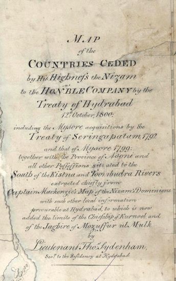
- Hyderabad Size: 91.5 cmx 102.5cm, between borders;...
- Department: Survey Of India
-
- 344 Views

- Dindigul Sizes of various sections very between 33...
- Department: Survey Of India (Maps)
-
- 279 Views
- Hyderabad Size: 169.5cm x 170.0cm, actual areas; i...
- Department: Survey Of India
- Year / Date: 1826