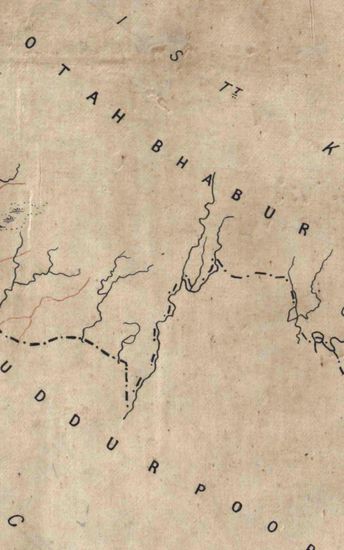
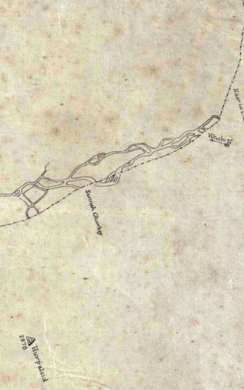
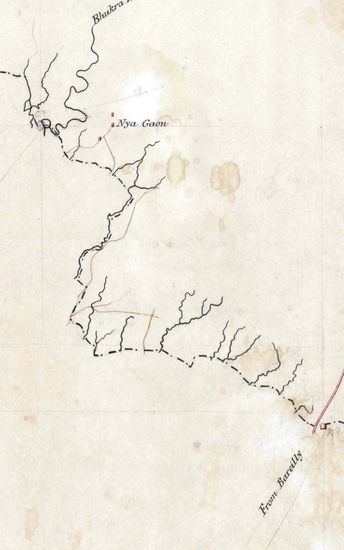
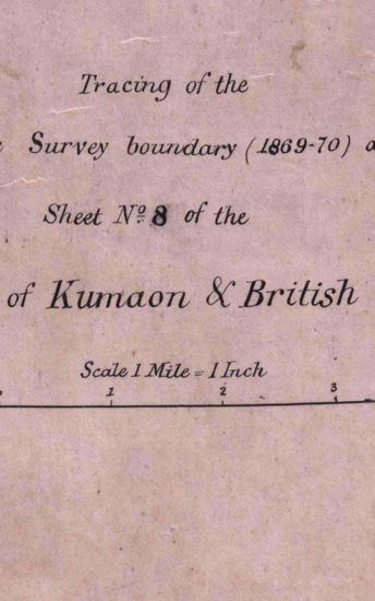
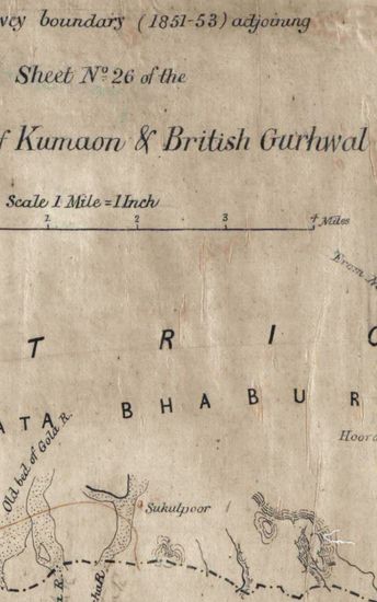
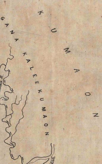
Kumaon Size of map 35: 78.0 cm x 134.5 cm, actual area; in single sheet; maps 35A – 35F are of different sizes from 38.0 cm x 43.3 cm , actual area to 53.3 cm x 86.0 cm, actual area and are on tracing cloth. No co-ordinates marked or numbered on map 35; 35A- 35F cover latitudes 29000’N to 30000’N and longitudes 700E to 800E; hand-drawn but not coloured; no topographical details given except relief, rivers and roads crossing the boundary line or adjacent to it; relief shown by horizontal hechures; major roads in double lines of red and some routes in single lines of burnt sienna; rivers also in burnt sienna on map 35; routes, on others, in double lines of burnt sienna ; sites of places also in burnt sienna. No tittle and scale marked on map 35.
| Department | Survey Of India (Maps) |
| Place | Kumaon |
| Series | Cartographic Notes |
| Identifier | CR_000002286631 |
| File No. | 1841-60-35 |
| Scale | 35: 78.0 cm x 134.5 cm |
| File Size | 6.0 MB |
| Pages | 1 |
| Collection | Digitized Cartographic Records |
| Series | Cartographic Notes |
-
268 views
Other Similar Items
-
- 359 Views
- Kumaon Size of map 35: 78.0 cm x 134.5 cm, actual ...
- Department: Survey Of India (Maps)
-
- 244 Views
- Kumaon Size of map 35: 78.0 cm x 134.5 cm, actual ...
- Department: Survey Of India (Maps)
-
- 261 Views
- Kumaon Size of map 35: 78.0 cm x 134.5 cm, actual ...
- Department: Survey Of India (Maps)
-
- 289 Views
- Kumaon Size of map 35: 78.0 cm x 134.5 cm, actual ...
- Department: Survey Of India (Maps)
-
- 281 Views
- Kumaon Size of map 35: 78.0 cm x 134.5 cm, actual ...
- Department: Survey Of India (Maps)
-
- 218 Views
- Kumaon Size of map 35: 78.0 cm x 134.5 cm, actual ...
- Department: Survey Of India (Maps)
-
- 204 Views
- Jhelum Size 116.0 cm x 188.3 cm ,actual area; in s...
- Department: Survey Of India (Maps)
-
- 195 Views
- Jhelum Size 116.0 cm x 188.3 cm ,actual area; in s...
- Department: Survey Of India (Maps)
-
- 206 Views
- Jhelum Size 116.0 cm x 188.3 cm ,actual area; in s...
- Department: Survey Of India (Maps)
-
- 243 Views

- Jhelum Size 116.0 cm x 188.3 cm ,actual area; in s...
- Department: Survey Of India (Maps)