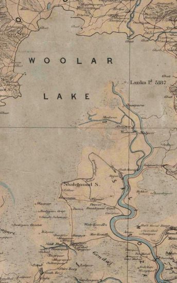
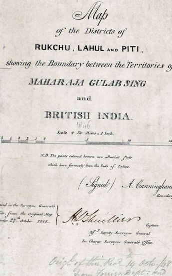
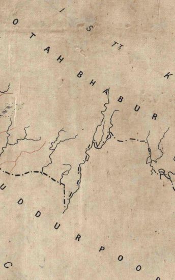
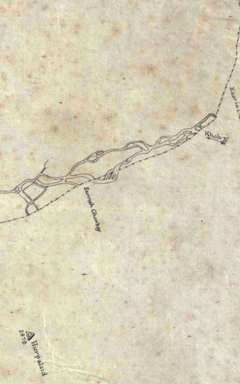
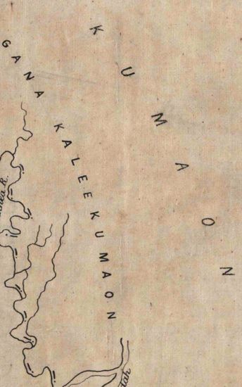
Kashmir Size: 122.1 cm x 128.8 cm, between borders; in four sections, each in single sheet. Latitudes from 33020’N to 34040’N and longitudes from 7400’E to 75040’E marked and numbered; printed in black with major rivers coloured blue and some route in red; relief shown by vertical hechures; lower ranges and river embankments shown in horizontal hechures ; contains and inset map covering latitudes 330N to 350N and longitudes 730E to 780E marked and numbered with only places along the routes marked*
| Department | Survey Of India (Maps) |
| Place | Kashmir |
| Series | Cartographic Notes |
| Identifier | CR_000002286644 |
| File No. | 1841-60-80(A) |
| Scale | 122.1 cm x 128.8 cm |
| File Size | 9.6 MB |
| Pages | 1 |
| Collection | Digitized Cartographic Records |
| Series | Cartographic Notes |
-
566 views
Other Similar Items
-
- 362 Views
- Kashmir Size: 122.1 cm x 128.8 cm, between borders...
- Department: Survey Of India (Maps)
-
- 390 Views
- Kashmir Size 51.1 cm x 63. 3 cm, between borders; ...
- Department: Survey Of India (Maps)
-
- 359 Views
- Kumaon Size of map 35: 78.0 cm x 134.5 cm, actual ...
- Department: Survey Of India (Maps)
-
- 244 Views
- Kumaon Size of map 35: 78.0 cm x 134.5 cm, actual ...
- Department: Survey Of India (Maps)
-
- 261 Views
- Kumaon Size of map 35: 78.0 cm x 134.5 cm, actual ...
- Department: Survey Of India (Maps)
-
- 289 Views
- Kumaon Size of map 35: 78.0 cm x 134.5 cm, actual ...
- Department: Survey Of India (Maps)
-
- 281 Views
- Kumaon Size of map 35: 78.0 cm x 134.5 cm, actual ...
- Department: Survey Of India (Maps)
-
- 268 Views
- Kumaon Size of map 35: 78.0 cm x 134.5 cm, actual ...
- Department: Survey Of India (Maps)
-
- 218 Views
- Kumaon Size of map 35: 78.0 cm x 134.5 cm, actual ...
- Department: Survey Of India (Maps)
-
- 386 Views
- India Size of maps 21, 21A: 30.0 cm x 36.0 cm; map...
- Department: Survey Of India (Maps)