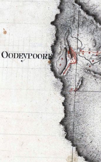
Sundarbans Size 69cmx106cm; between borders 2 sheets pasted together. Hand- drawn in ink and sparsely coloured. Calcutta taken as 0 Meridian latitudes. longitudes scale, graticules and year of survey shown in pencil light sepia tint used for rivers and sea for marshy areas rough horizontal light sepia tint strokes shown one line in the blue also used for rivers and ponds and some portions missing at bottom left and middle right. This seems to be a rough draft. Watermark:J WHATMAN1781
| Department | Survey Of India (Maps) |
| Place | Sunderbans |
| Series | Cartographic Notes |
| Identifier | CR_000002286650 |
| File No. | 1761-80-4 |
| Scale | 69cm x 106cm |
| File Size | 12.5 MB |
| Pages | 1 |
| Collection | Digitized Cartographic Records |
| Series | Cartographic Notes |
-
474 views
Other Similar Items
-
- 631 Views

- Bengal Size:86cmx98.5cm,between borders; 2 sheets,...
- Department: Survey Of India (Maps)
-
- 282 Views
- Khandesh Size 210cm x 189.5cm , actual areas, 10 s...
- Department: Survey Of India
-
- 390 Views
- Kashmir Size 51.1 cm x 63. 3 cm, between borders; ...
- Department: Survey Of India (Maps)
-
- 377 Views

- Tinnevelly Size: 80.5 cm x 66cm, actual areas tree...
- Department: Survey Of India
- Year / Date: 1805
-
- 344 Views

- Dindigul Sizes of various sections very between 33...
- Department: Survey Of India (Maps)
-
- 244 Views
- Sundarbans Size: 75.5 cm x 54cm, actual area; in o...
- Department: Survey Of India
- Year / Date: 1813
-
- 255 Views
- Sundarbans Size: 73 cm x55cm, actual area; in one ...
- Department: Survey Of India
- Year / Date: 1812
-
- 290 Views
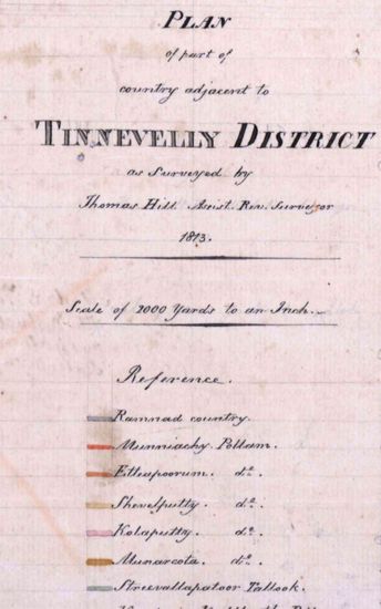
- Tinnevelly Size: 57 cm x 65 cm , actual area; two ...
- Department: Survey Of India
- Year / Date: 1813
-
- 261 Views
- Tinnevelly Size: 65 cm x 81 cm, actual areas ;in o...
- Department: Survey Of India (Maps)
- Year / Date: 1801
-
- 450 Views
- hyderabad Size: 61 cm x122cm , between borders; si...
- Department: Survey Of India