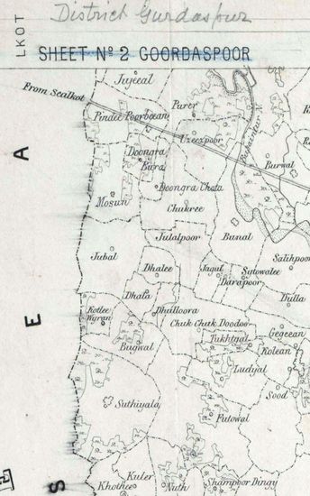
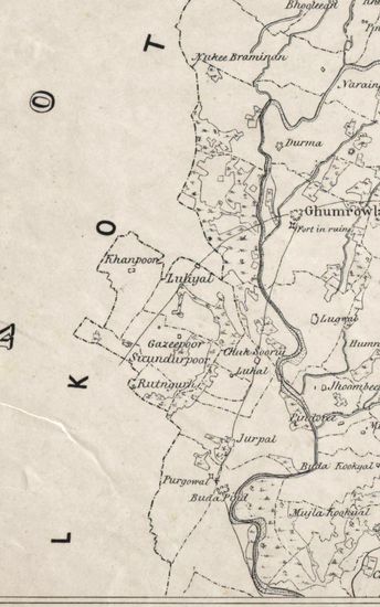
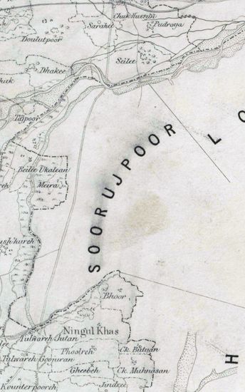
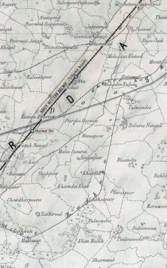
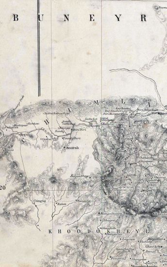
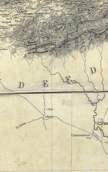
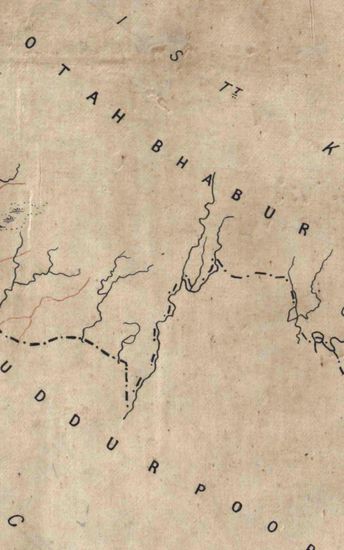
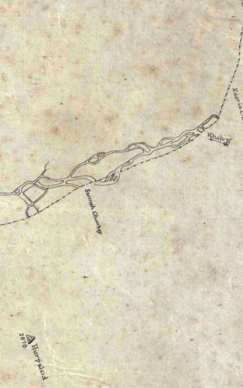
Hoshiarpur Size of each section: 50.8 cm x 91. 0 cm, inside borders; in single sheet. Maps 39- 39C lithographed ‘proof’ copies of maps 38C, 38D (two copies) and 38E respectively; map 38 heliozincographed copy of map 38F; each in single sheet; maps 38A to 38F hand-drawn; but not coloured; no coordinates drawn or numbered;tehsil boundaries shown; not much topographical details given; relief shown at some places in a peculiar contour – like fashion; or vertical hechures; railway lines added on litho- copies. Instructions for litho-office, in pencil, are given on all the manuscript maps outside the borders. Lithocpy of may 38 E contains an inset index map showing the arrangement of various sections. Watermark: Maps 38- 38F – “J WHATMAN 1866”. i
| Department | Survey Of India (Maps) |
| Place | Hoshiarpur |
| Series | Cartographic Notes |
| Identifier | CR_000002286651 |
| File No. | 1841-60-38(C) |
| Scale | 50.8 cm x 91. 0 cm |
| File Size | 9.3 MB |
| Pages | 1 |
| Collection | Digitized Cartographic Records |
| Series | Cartographic Notes |
-
296 views
Other Similar Items
-
- 223 Views
- Hoshiarpur Size of each section: 50.8 cm x 91. 0 c...
- Department: Survey Of India (Maps)
-
- 247 Views
- Hoshiarpur Size of each section: 50.8 cm x 91. 0 c...
- Department: Survey Of India (Maps)
-
- 235 Views
- Hoshiarpur Size of each section: 50.8 cm x 91. 0 c...
- Department: Survey Of India (Maps)
-
- 262 Views
- Hoshiarpur Size of each section: 50.8 cm x 91. 0 c...
- Department: Survey Of India (Maps)
-
- 386 Views
- India Size of maps 21, 21A: 30.0 cm x 36.0 cm; map...
- Department: Survey Of India (Maps)
-
- 193 Views
- Hazara Size : 139.8 cm x 177.8 cm, between borders...
- Department: Survey Of India (Maps)
-
- 182 Views
- Hazara Size : 139.8 cm x 177.8 cm, between borders...
- Department: Survey Of India (Maps)
-
- 186 Views

- Hazara Size : 139.8 cm x 177.8 cm, between borders...
- Department: Survey Of India (Maps)
-
- 359 Views
- Kumaon Size of map 35: 78.0 cm x 134.5 cm, actual ...
- Department: Survey Of India (Maps)
-
- 244 Views
- Kumaon Size of map 35: 78.0 cm x 134.5 cm, actual ...
- Department: Survey Of India (Maps)