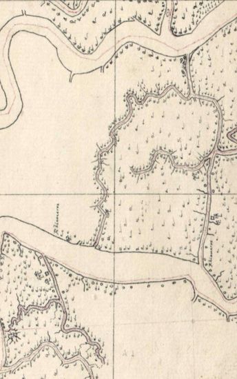
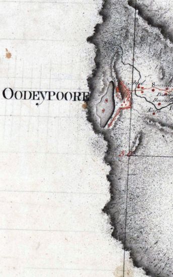
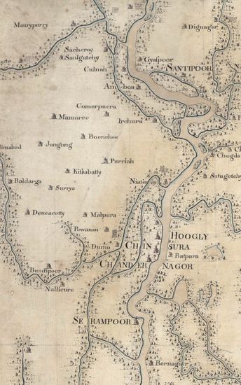
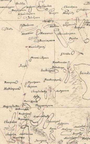
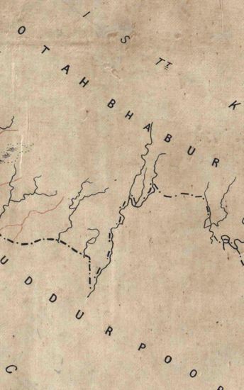
Sundarbans Size: 94.5 cm x 27.5cm , actual area ; two sheets pasted together. Border lines shown only on the north and east; on the eastern border 22 N and 23 N latitudes numbered; on the north, graduated border but only 1 E longitude numbered. Calcutta taken as Prime Meridian hand-drawn in black ink; map 5 not coloured but map 5A coloured. No watermark on map 5but the watermark on map 5A partly visible and reads….1815.
| Department | Survey Of India |
| From Year / Date (YYYY-MM-DD) |
1815 |
| To Year / Date (YYYY-MM-DD) |
1815 |
| Place | Sunderbans |
| Series | Cartographic Notes |
| Identifier | CR_000002286449 |
| File No. | 1801-20-5 |
| Scale | 94.5 cm x 27.5cm |
| File Size | 3.0 MB |
| Pages | 1 |
| Collection | Digitized Cartographic Records |
| Series | Cartographic Notes |
-
205 views
Other Similar Items
-
- 631 Views

- Bengal Size:86cmx98.5cm,between borders; 2 sheets,...
- Department: Survey Of India (Maps)
-
- 255 Views
- Sundarbans Size: 73 cm x55cm, actual area; in one ...
- Department: Survey Of India
- Year / Date: 1812
-
- 282 Views
- Khandesh Size 210cm x 189.5cm , actual areas, 10 s...
- Department: Survey Of India
-
- 474 Views
- Sundarbans Size 69cmx106cm; between borders 2 shee...
- Department: Survey Of India (Maps)
-
- 244 Views
- Sundarbans Size: 75.5 cm x 54cm, actual area; in o...
- Department: Survey Of India
- Year / Date: 1813
-
- 450 Views
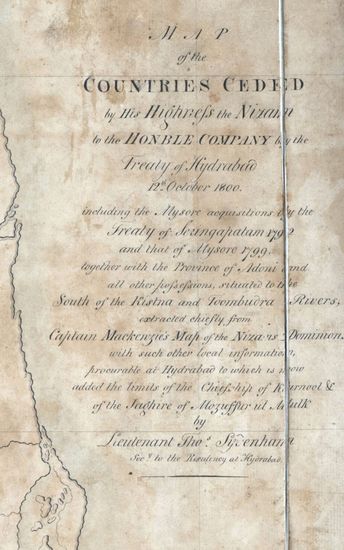
- hyderabad Size: 61 cm x122cm , between borders; si...
- Department: Survey Of India
-
- 318 Views
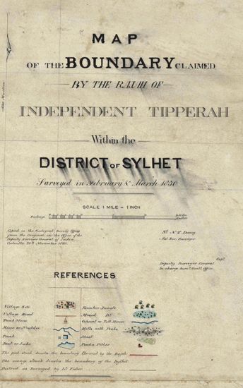
- Sylhet Size: 98.3 cm x 91.5 cm, between borders; i...
- Department: Survey Of India (Maps)
-
- 251 Views
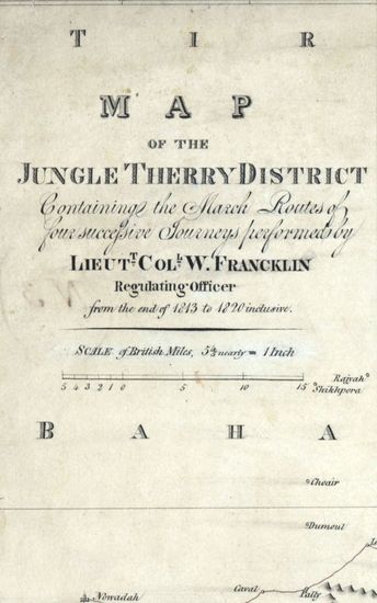
- Jungle Terry Size: 52 cmx74cm between borders in o...
- Department: Survey Of India
-
- 390 Views
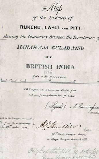
- Kashmir Size 51.1 cm x 63. 3 cm, between borders; ...
- Department: Survey Of India (Maps)
-
- 359 Views
- Kumaon Size of map 35: 78.0 cm x 134.5 cm, actual ...
- Department: Survey Of India (Maps)