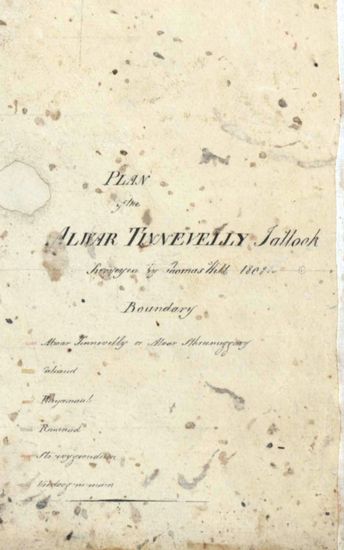
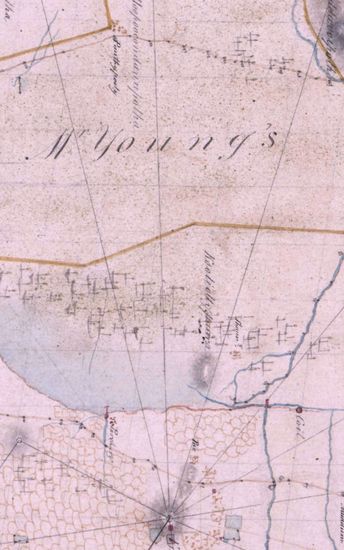
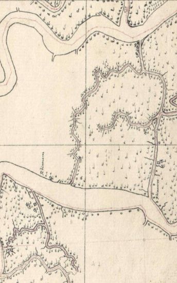
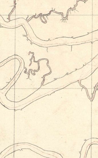
Tinnevelly Size: map 19G: 84.5 cm x 100cm, actual areas 4sheets pasted together; map 19H: 73.5 cm x 65 cm actual area; in one sheet. No coordinates marked or numbered ; hand -drawn and coloured; blank areas appear; topographical detail similar to those of map 1801-20/19F; on map 19H ,major trianglation lines in red and minor ones in dotted red. Watermark : map 19G-J WHATMAN 1801 MAP 19H - S WISE&PATCH 1803.
| Department | Survey Of India |
| Place | Tinnevelly |
| Series | Cartographic Notes |
| Identifier | CR_000002286484 |
| File No. | 1801-20-19(H) |
| Scale | 84.5 cm x 100cm |
| File Size | 4.2 MB |
| Pages | 1 |
| Collection | Digitized Cartographic Records |
| Series | Cartographic Notes |
-
211 views
Other Similar Items
-
- 227 Views
- Tinnevelly Size: 77 cm x 84.5 cm , actual areas ; ...
- Department: Survey Of India
- Year / Date: 1801
-
- 377 Views

- Tinnevelly Size: 80.5 cm x 66cm, actual areas tree...
- Department: Survey Of India
- Year / Date: 1805
-
- 261 Views
- Tinnevelly Size: 65 cm x 81 cm, actual areas ;in o...
- Department: Survey Of India (Maps)
- Year / Date: 1801
-
- 289 Views

- Tinnevelly Size: 79 cm x 57.5 cm , actual areas th...
- Department: Survey Of India (Maps)
- Year / Date: 1805
-
- 341 Views
- Tinnevelly Size: 97cm x 100.5 cm , actual area; tw...
- Department: Survey Of India (Maps)
- Year / Date: 1810
-
- 234 Views

- Tinnevelly Size: 80 cm x 80cm, actual areas; four ...
- Department: Survey Of India
- Year / Date: 1808-11-30
-
- 286 Views
- Tinnevelly Size: 77cmx 83 cm, actual areas ; four ...
- Department: Survey Of India
- Year / Date: 1805
-
- 255 Views
- Sundarbans Size: 73 cm x55cm, actual area; in one ...
- Department: Survey Of India
- Year / Date: 1812
-
- 240 Views

- Tinnevelly Size: 82 cm x 126.5 cm , actual areas ;...
- Department: Survey Of India
-
- 177 Views
- Sundarbans Size: 75.5cm x 55cm, actual area; in on...
- Department: Survey Of India
- Year / Date: 1812