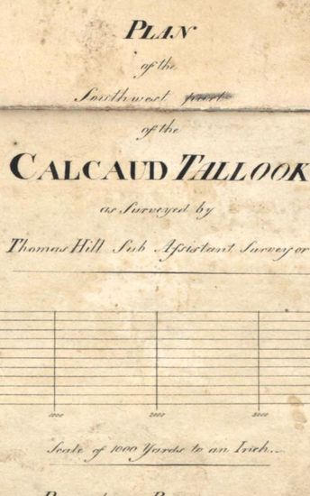
Tinnevelly Size: 77cmx 83 cm, actual areas ; four sheets of unequal sizes pasted together.No coordinatesmarked or numbered; hand -drawn and coloured; blank areas appear; forest areas marked by green dots and swamps by green and black smaller dots ;cultivated areas shown as rectangles of burnt sienna ; palmyras groves represented by beautiful symbols; boundaries ribbon -coloured; releif shown by grey tint and roads marked by thick single lines of light sepia ; lines of triangulations marked ; site of Romn .Church south of Tuticorin marked; and salt godowns, chaultry and parchary sites also marked. Watermark: 'S WISE & PATCH 1805.
| Department | Survey Of India |
| From Year / Date (YYYY-MM-DD) |
1805 |
| To Year / Date (YYYY-MM-DD) |
1805 |
| Place | Tinnevelly |
| Series | Cartographic Notes |
| Identifier | CR_000002286486 |
| File No. | 1801-20-19(J) |
| Scale | 77cmx 83 cm |
| File Size | 10.1 MB |
| Pages | 1 |
| Collection | Digitized Cartographic Records |
| Series | Cartographic Notes |
-
286 views
Other Similar Items
-
- 377 Views

- Tinnevelly Size: 80.5 cm x 66cm, actual areas tree...
- Department: Survey Of India
- Year / Date: 1805
-
- 344 Views

- Dindigul Sizes of various sections very between 33...
- Department: Survey Of India (Maps)
-
- 341 Views
- Tinnevelly Size: 97cm x 100.5 cm , actual area; tw...
- Department: Survey Of India (Maps)
- Year / Date: 1810
-
- 273 Views

- Tinnevelly Size: 80 cm x 89.5 cm, actual areas; in...
- Department: Survey Of India
- Year / Date: 1811
-
- 289 Views

- Tinnevelly Size: 79 cm x 57.5 cm , actual areas th...
- Department: Survey Of India (Maps)
- Year / Date: 1805
-
- 319 Views
- Tinnevelly Size: 73cmx 54cm ,actual areas; in one ...
- Department: Survey Of India (Maps)
- Year / Date: 1805
-
- 220 Views
- Tinnevelly Size: 82 cm x 86.5 cm, between boprders...
- Department: Survey Of India
- Year / Date: 1812
-
- 241 Views

- Goa size: 89 cm x 61 cm, between borders ; in one ...
- Department: Survey Of India
- Year / Date: 1814-05-29
-
- 318 Views
- Sylhet Size: 98.3 cm x 91.5 cm, between borders; i...
- Department: Survey Of India (Maps)
-
- 240 Views

- Tinnevelly Size: 82 cm x 126.5 cm , actual areas ;...
- Department: Survey Of India