LUCKNOW (Map of Country between Lucknow and Allahabad ) by Col C. Rogers
| Department | Survey Of India (Maps) |
| Place | Lucknow |
| Series | Historical Maps |
| Identifier | CR_000002286509 |
| File No. | F15-9 |
| Scale | 1 - 7 2/3 miles |
| File Size | 6.0 MB |
| Pages | 1 |
| Collection | Digitized Cartographic Records |
| Series | Historical Maps |
-
257 views
Other Similar Items
-
- 696 Views
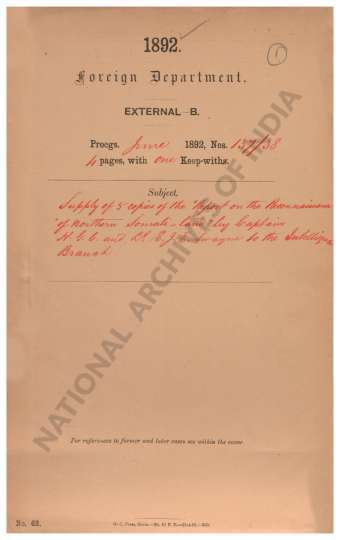
- Supply of 5 copies of the Report on the Reconnaiss...
- Department: Foreign
- Branch: External-B
- Year / Date: 1892
-
- 386 Views
- India Size of maps 21, 21A: 30.0 cm x 36.0 cm; map...
- Department: Survey Of India (Maps)
-
- 503 Views
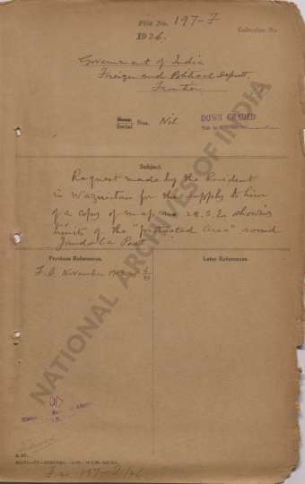
- Request made by the Resident in Waziristan for the...
- Department: Foreign
- Branch: Frontier-B
- Year / Date: 1893
-
- 493 Views
- DELHI (Map of the Country between Delhi and Ludhia...
- Department: Survey Of India
- Year / Date: 1808
-
- 251 Views
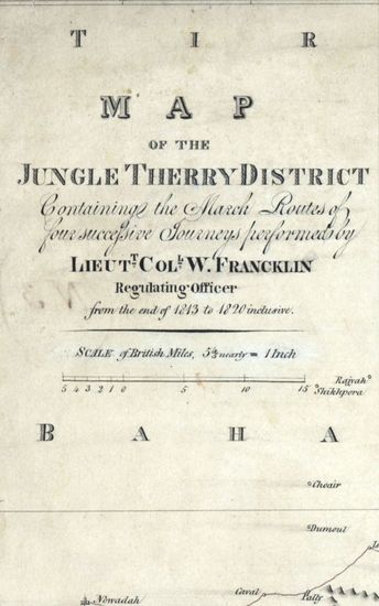
- Jungle Terry Size: 52 cmx74cm between borders in o...
- Department: Survey Of India
-
- 403 Views
- DELHI (Map of the Country between Delhi and Lundia...
- Department: Survey Of India (Maps)
- Year / Date: 1808
-
- 339 Views
- DELHI Map of the Country between Delhi and Lundian...
- Department: Survey Of India (Maps)
- Year / Date: 1808
-
- 2920 Views
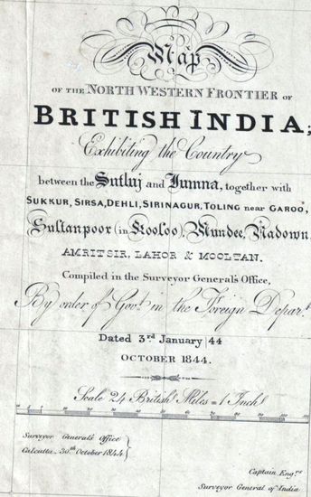
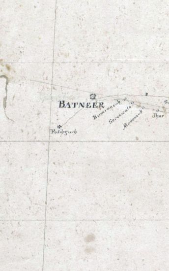
- PUNJAB Map of the Norethern Frontier of British In...
- Department: Survey Of India (Maps)
- Year / Date: 1844
-
- 1063 Views
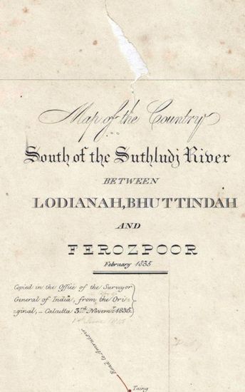
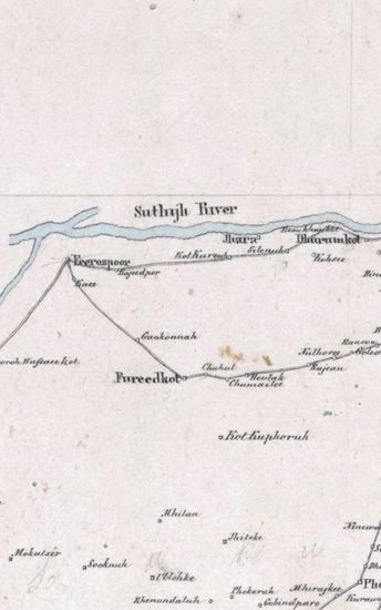
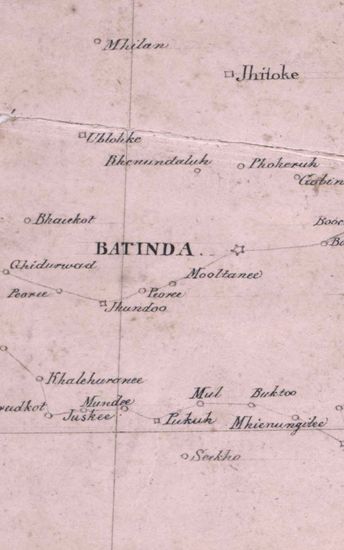
- PUNJAB Map of the country South of the Suthludj Ri...
- Department: Survey Of India (Maps)
- Year / Date: 1835
-
- 223 Views
- Hoshiarpur Size of each section: 50.8 cm x 91. 0 c...
- Department: Survey Of India (Maps)