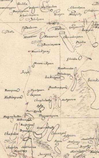
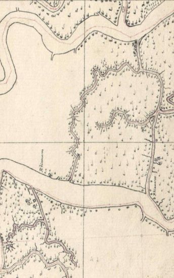
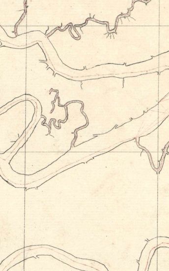
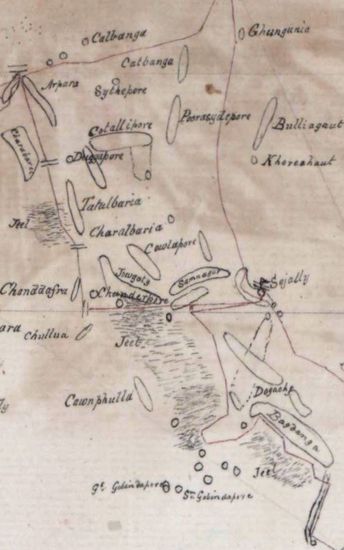
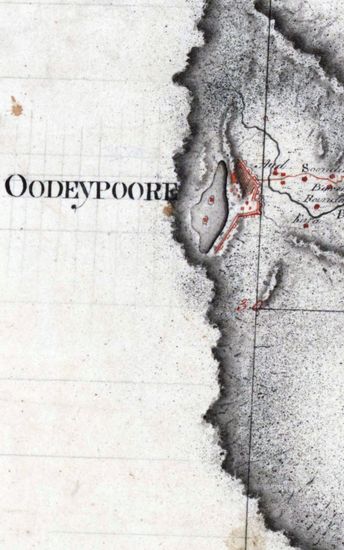
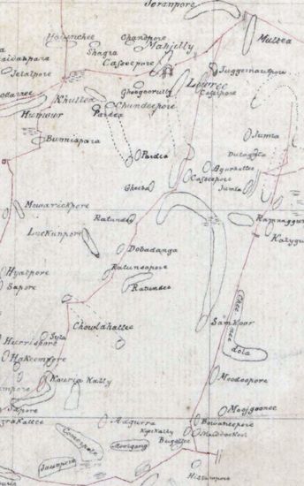
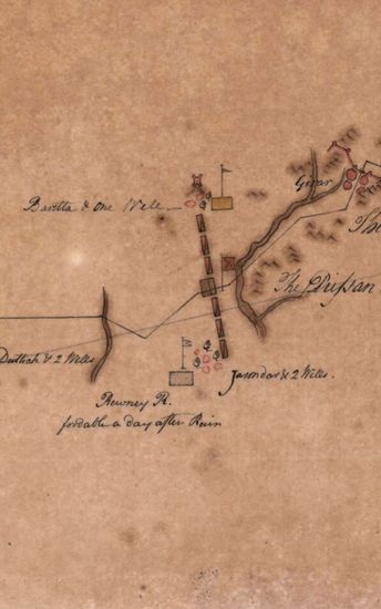
Sundarbans Size:76 cm x 55cm, between borders; each in one sheet. Borders drawn on three side except southern side; latitudes drawn in pencil except latitudes 22 53'55N to23 17' 55 Nnumbered and drawn in ink; hand- drawn in black ink; and roads shown in single lines of dark pink. Incomplete maps but map no . 1801-20-5(h),contains a few names of places and rivers. Watermark: RUSE& TURNERS 813 and 'Fleur-de-Lis' with 'Monograme' underneath.
| Department | Survey Of India |
| Place | Sunderbans |
| Series | Cartographic Notes |
| Identifier | CR_000002286455 |
| File No. | 1801-20-5(H) |
| Scale | 76 cm x 55cm |
| File Size | 4.1 MB |
| Pages | 1 |
| Collection | Digitized Cartographic Records |
| Series | Cartographic Notes |
-
251 views
Other Similar Items
-
- 244 Views
- Sundarbans Size: 75.5 cm x 54cm, actual area; in o...
- Department: Survey Of India
- Year / Date: 1813
-
- 169 Views

- Sundarbans Size: 76cm x 52cm, between borders; in ...
- Department: Survey Of India
- Year / Date: 1812
-
- 255 Views
- Sundarbans Size: 73 cm x55cm, actual area; in one ...
- Department: Survey Of India
- Year / Date: 1812
-
- 211 Views

- Sundarbans Size: 72.5cmx 51cm, between borders; in...
- Department: Survey Of India
- Year / Date: 1813
-
- 177 Views
- Sundarbans Size: 75.5cm x 55cm, actual area; in on...
- Department: Survey Of India
- Year / Date: 1812
-
- 174 Views

- Sundarbans Size:75.5 cm x 54.5 cm actual areas. Co...
- Department: Survey Of India
- Year / Date: 1811
-
- 189 Views
- Sundarbans Size:62cm x 39.5cm, actual area; in one...
- Department: Survey Of India
- Year / Date: 1814
-
- 282 Views
- Khandesh Size 210cm x 189.5cm , actual areas, 10 s...
- Department: Survey Of India
-
- 171 Views
- Sundarbans Size:38 cm x55cm , actual area, in one ...
- Department: Survey Of India
- Year / Date: 1813
-
- 459 Views
- India Size: Twenty three sections of 38cm x54cm,ac...
- Department: Survey Of India (Maps)