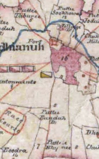
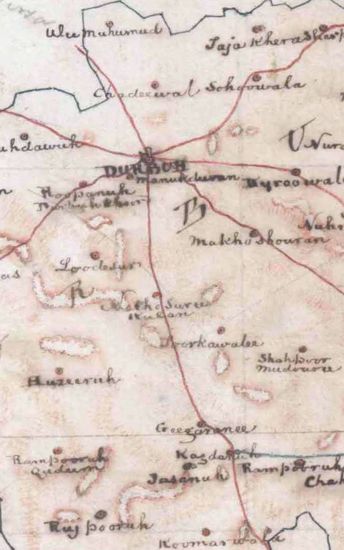
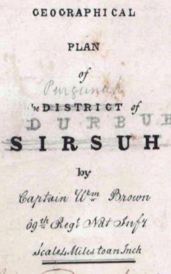
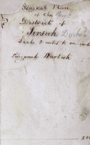
LUDHIANA Geographical plan of the Pungunuhs of Loodianuh, Ferozepoor, Bussseean, and Suraee Lushkur, Khan. Surveyed by Captain William Brown 1842.
| Department | Survey Of India (Maps) |
| From Year / Date (YYYY-MM-DD) |
1842 |
| To Year / Date (YYYY-MM-DD) |
1842 |
| Place | Ludhiana |
| Series | Historical Maps |
| Identifier | CR_000002286530 |
| File No. | F14-21 |
| Scale | 1 - 4 miles. |
| File Size | 5.4 MB |
| Pages | 1 |
| Collection | Digitized Cartographic Records |
| Series | Historical Maps |
-
319 views
Other Similar Items
-
- 444 Views
- LUDHIANA General plan of the Purgunuhs of Loodhian...
- Department: Survey Of India (Maps)
- Year / Date: 1842
-
- 185 Views
- BULANDSHAHR Geographical map of the Revenue Survey...
- Department: Survey Of India (Maps)
-
- 1435 Views
- DARBAH Plan of the Purgunugh of Durbab in the Bhut...
- Department: Survey Of India (Maps)
-
- 222 Views
- DARBAH Plan of the Purgunugh of Durbab in the Bhut...
- Department: Survey Of India (Maps)
- Year / Date: 1838-07-24
-
- 1714 Views

- GUDAH Plan of the Purgunuh of Gooduh, Bhutteeana o...
- Department: Survey Of India (Maps)
-
- 202 Views
- GUDAH Plan of the Purgunuh of Gooduh, Bhutteeana o...
- Department: Survey Of India (Maps)
-
- 683 Views
- DARBAH Plan of the Purgunugh of Durbab in the Bhut...
- Department: Survey Of India (Maps)
-
- 617 Views
- DARBAH Plan of the Purgunugh of Durbab in the Bhut...
- Department: Survey Of India (Maps)
-
- 484 Views
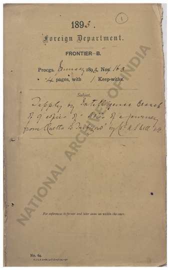
- Supply by Intelligence Branch of 9 copies of Notes...
- Department: Foreign
- Branch: Frontier-B
- Year / Date: 1893
-
- 138 Views
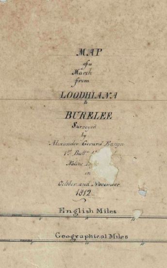
- LUDHIANA Route map from Ludhiana to Bareilly Surve...
- Department: Survey Of India (Maps)
- Year / Date: 1812