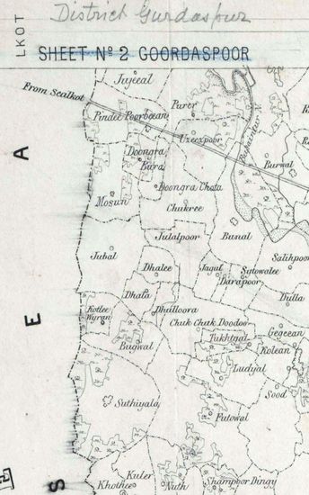
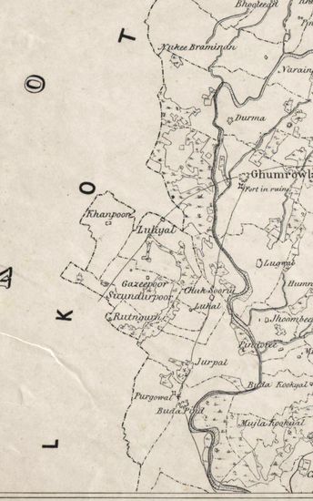
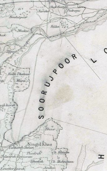
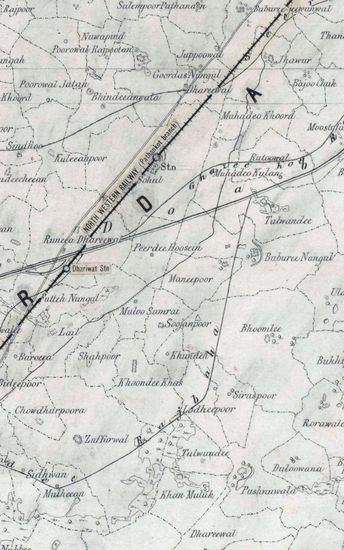
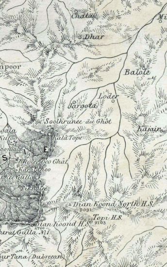
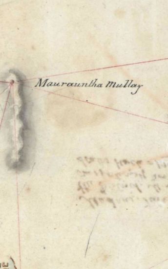
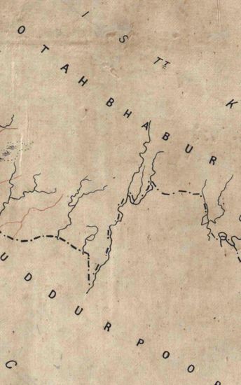
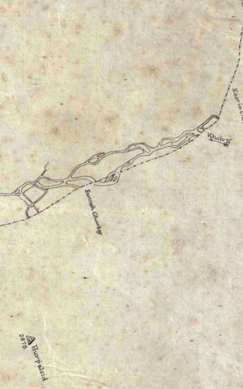
BHADRAT Map of Bhadraj Grant and Bhadraj Hill
| Department | Survey Of India (Maps) |
| Place | Bhadrat |
| Series | Historical Maps |
| Identifier | CR_000002286532 |
| File No. | F15-13 |
| Scale | 1 - 4 chains |
| File Size | 9.3 MB |
| Pages | 1 |
| Collection | Digitized Cartographic Records |
| Series | Historical Maps |
-
130 views
Other Similar Items
-
- 223 Views
- Hoshiarpur Size of each section: 50.8 cm x 91. 0 c...
- Department: Survey Of India (Maps)
-
- 247 Views
- Hoshiarpur Size of each section: 50.8 cm x 91. 0 c...
- Department: Survey Of India (Maps)
-
- 235 Views
- Hoshiarpur Size of each section: 50.8 cm x 91. 0 c...
- Department: Survey Of India (Maps)
-
- 262 Views
- Hoshiarpur Size of each section: 50.8 cm x 91. 0 c...
- Department: Survey Of India (Maps)
-
- 296 Views
- Hoshiarpur Size of each section: 50.8 cm x 91. 0 c...
- Department: Survey Of India (Maps)
-
- 386 Views
- India Size of maps 21, 21A: 30.0 cm x 36.0 cm; map...
- Department: Survey Of India (Maps)
-
- 451 Views

- Reappropriation of a sum of Rs 106-13-10 from the ...
- Department: Foreign
- Branch: External-B
- Year / Date: 1904
-
- 211 Views
- Tinnevelly Size: map 19G: 84.5 cm x 100cm, actual ...
- Department: Survey Of India
-
- 359 Views
- Kumaon Size of map 35: 78.0 cm x 134.5 cm, actual ...
- Department: Survey Of India (Maps)
-
- 244 Views
- Kumaon Size of map 35: 78.0 cm x 134.5 cm, actual ...
- Department: Survey Of India (Maps)