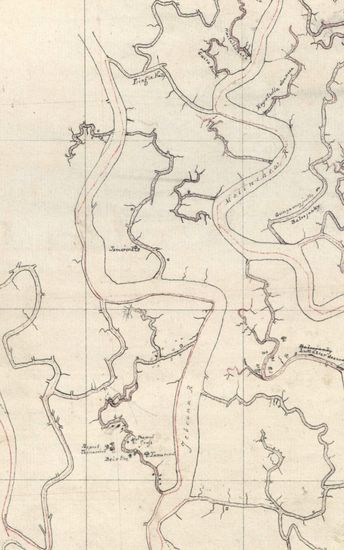
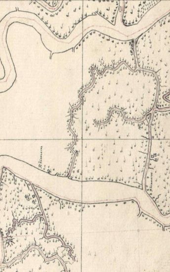
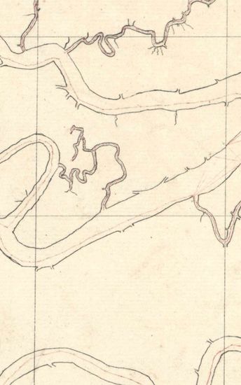
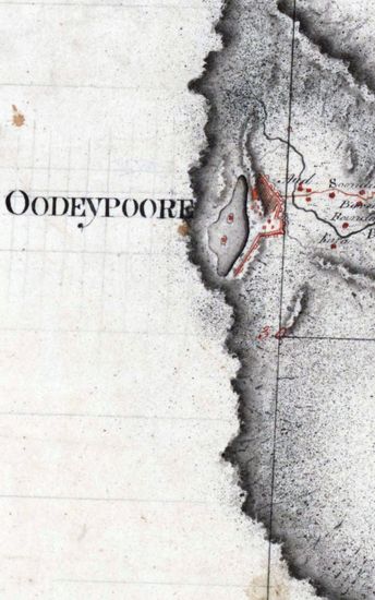
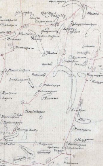
Sundarbans Size: 75.5 cm x 54cm, actual area; in one sheet. Only latitudes drawn andnumbered in red ink ; on the left border, numbered from 22 34 '55N to 23 9 55N drawn by hand on both sides of the paper; on one side the marshy areas shown with light blue tint; someblank areas on the map also; roads shown in single lines of pink ; beautiful, decorative but unfinished compass -rose drawn in pencil ; and very much faded tittle of the map written in a circle drawn in penci. Incomplete map. Watermark: RUSE & TURNERS 1813 with 'Fleur- de- Lis' and 'Monograme' underneath.
| Department | Survey Of India |
| From Year / Date (YYYY-MM-DD) |
1813 |
| To Year / Date (YYYY-MM-DD) |
1813 |
| Place | Sunderbans |
| Series | Cartographic Notes |
| Identifier | CR_000002286456 |
| File No. | 1801-20-5(I) |
| Scale | 75.5 cm x 54cm |
| File Size | 3.8 MB |
| Pages | 1 |
| Collection | Digitized Cartographic Records |
| Series | Cartographic Notes |
-
244 views
Other Similar Items
-
- 251 Views
- Sundarbans Size:76 cm x 55cm, between borders; ea...
- Department: Survey Of India
-
- 255 Views
- Sundarbans Size: 73 cm x55cm, actual area; in one ...
- Department: Survey Of India
- Year / Date: 1812
-
- 211 Views

- Sundarbans Size: 72.5cmx 51cm, between borders; in...
- Department: Survey Of India
- Year / Date: 1813
-
- 177 Views
- Sundarbans Size: 75.5cm x 55cm, actual area; in on...
- Department: Survey Of India
- Year / Date: 1812
-
- 282 Views
- Khandesh Size 210cm x 189.5cm , actual areas, 10 s...
- Department: Survey Of India
-
- 171 Views
- Sundarbans Size:38 cm x55cm , actual area, in one ...
- Department: Survey Of India
- Year / Date: 1813
-
- 169 Views

- Sundarbans Size: 76cm x 52cm, between borders; in ...
- Department: Survey Of India
- Year / Date: 1812
-
- 174 Views

- Sundarbans Size:75.5 cm x 54.5 cm actual areas. Co...
- Department: Survey Of India
- Year / Date: 1811
-
- 344 Views

- Dindigul Sizes of various sections very between 33...
- Department: Survey Of India (Maps)
-
- 289 Views

- Tinnevelly Size: 79 cm x 57.5 cm , actual areas th...
- Department: Survey Of India (Maps)
- Year / Date: 1805