Bhootan Boundary- Inquiring when we are to expect the map showing the boundary between British territory and Bhootan (including Dewangiri) as recently laid down by Major Graham also asking that a copy of the map with the British territory colored in red may be specially prepared and forwarded for transmission to the Bhootan Govt.
| Department | Government Of Bengal |
| Branch | Political |
| From Year / Date (YYYY-MM-DD) |
1873-08 |
| To Year / Date (YYYY-MM-DD) |
1873-08 |
| Identifier | PR_000000311831 |
| File No. | Progs., Nos. 99, August 1873 |
-
8 views

The National Archives of India is on a mission to digitize and make available online each and every record in its repositories. This is an ongoing effort and some records will be made available before the others.
Hereby you can give us your request for a particular record and we shall digitize and make it available on priority, at a fee, subject to its availability in legitimate conditions.
Other Similar Items
-
- 6 Views
- Bhootan Boundary - Inquiring when we are to expect...
- Department: Government Of Bengal
- Branch: Political
- Year / Date: 1873-08
-
- 5 Views
- Forwarding coy of no. 1243 dated 11th instant from...
- Department: Government Of Bengal
- Branch: Political
- Year / Date: 1873-08
-
- 5 Views
- of the map with the British territory colored in r...
- Department: Government Of Bengal
- Branch: Political
- Year / Date: 1873-08
-
- 737 Views
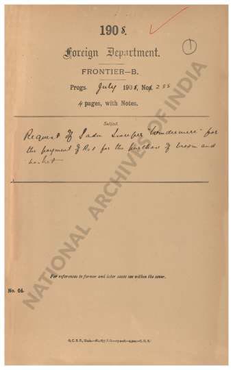
- Request of Sadu Sweeper Windermere for the payment...
- Department: Foreign
- Branch: Frontier-B
- Year / Date: 1909
-
- 8 Views
- Demarcation of Boundary between British Territory ...
- Department: Government Of Bengal
- Branch: Political
- Year / Date: 1873-08
-
- 10 Views
- Boundary between British and Bhutan Territory -In ...
- Department: Government Of Bengal
- Branch: Political
- Year / Date: 1873-08
-
- 11 Views
- Returning the original maps showing the boundary b...
- Department: Government Of Bengal
- Branch: Political
- Year / Date: 1879
-
- 10 Views
- Forwards, in continuation of his predecessor's com...
- Department: Government Of Bengal
- Branch: Political
- Year / Date: 1876-08
-
- 7 Views
- Boundary Between British Territory and Bhutan- For...
- Department: Government Of Bengal
- Branch: Political
- Year / Date: 1873-08
-
- 5 Views
- Boundary Between British Territory and Bhutan- For...
- Department: Government Of Bengal
- Branch: Political
- Year / Date: 1873-08