15 Items found in 0.932 seconds
Results
-

- GUDAH Plan of the Purgunuh of Gooduh, Bhutteeana or Sirsuh District. Surveyed by Captain William Brown 1839-1840.
- Department: Survey Of India (Maps)
- Year:
- Place : Gudah
- Keywords : Jim Brown
- Digitized Collection : Digitized Cartographic Records
- Held by : National Archives of India
- Date of Upload: 2018-01-06
- 1714 Views
-
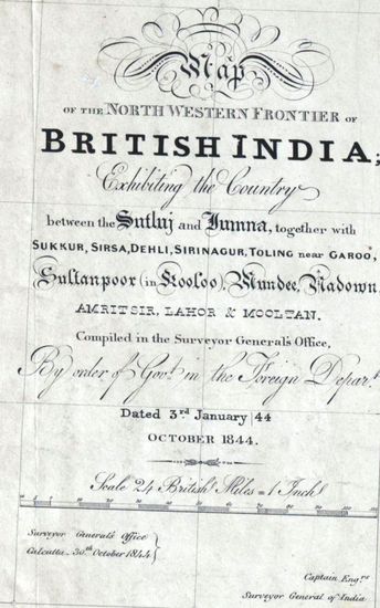
- PUNJAB Map of the Norethern Frontier of British India exhibiting the Country between the Sutlej and Jumna together with Sukkur, Sirsa, Delhi, Srinagur, Toling near Garoo, Sultanpoor, in Kooloo Mundee, Nadown, Amritsir, Lahore, and Mooltan, Compiled in 1844.
- Department: Survey Of India (Maps)
- Year: 1844
- Place : Punjab
- Digitized Collection : Digitized Cartographic Records
- Held by : National Archives of India
- Date of Upload: 2018-01-06
- 2920 Views
-
- Foreign Political Proceedings for the year 1834, dated 19 July
- Department: Foreign
- Branch: Political
- Year: 1834
- Place : Delhi
- Digitized Collection : Reference Tools
- Held by : NAI,Delhi
- Date of Upload: 2023-10-07
- 161 Views
-
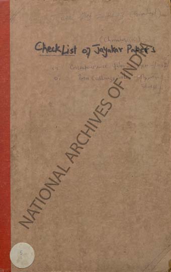
- Check List of Jayakar Papers- (1) Correspondence files Page No. 1-31 (2) Press Cuttings Vols. Page No. 38-46
- Department: Private Papers
- Branch: Jayakar Papers
- Year:
- Place : Delhi
- Digitized Collection : Reference Tools
- Held by : NAI,Delhi
- Date of Upload: 2023-10-07
- 111 Views
-
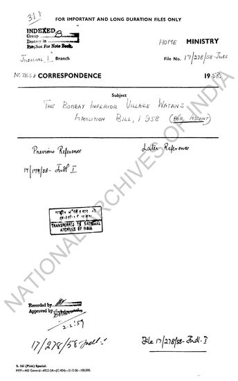
- The Bombay Inferior Village Watans Abolition Bill, 1958 - for assent.
- Department: Home
- Branch: Judicial - I
- Year: 1958
- Held by : National Archives of India
- Date of Upload: 2019-07-09
- 407 Views
-
- 1714 Views
- GUDAH Plan of the Purgunuh of Gooduh, Bhutteeana o...
- Department: Survey Of India (Maps)
-
- 2920 Views
- PUNJAB Map of the Norethern Frontier of British In...
- Department: Survey Of India (Maps)
- Year: 1844
-
- 161 Views
- Foreign Political Proceedings for the year 1834, d...
- Department: Foreign
- Branch: Political
- Year: 1834
-
- 111 Views
- Check List of Jayakar Papers- (1) Correspondence f...
- Department: Private Papers
- Branch: Jayakar Papers
-
- 407 Views
- The Bombay Inferior Village Watans Abolition Bill,...
- Department: Home
- Branch: Judicial - I
- Year: 1958