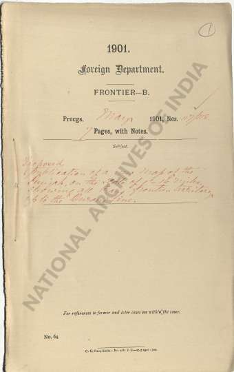
Proposed publication of a new map of the Punjab on the scale of 1=16 miles inches showing all trans-frontier territory up to the Durand Line.
| Department | Foreign |
| Branch | Frontier |
| From Year / Date (YYYY-MM-DD) |
1901-05 |
| To Year / Date (YYYY-MM-DD) |
1901-05 |
| Identifier | PR_000001411874 |
| File No. | Progs., Nos, 117-118, May 1901 |
| Part | PART B |
-
17 views

The National Archives of India is on a mission to digitize and make available online each and every record in its repositories. This is an ongoing effort and some records will be made available before the others.
Hereby you can give us your request for a particular record and we shall digitize and make it available on priority, at a fee, subject to its availability in legitimate conditions.
Other Similar Items
-
- 3 Views
- Proposed publication of new map of the Punjab, on ...
- Department: Foreign
- Branch: Frontier-B
- Year / Date: 1901-05-01
-
- 508 Views
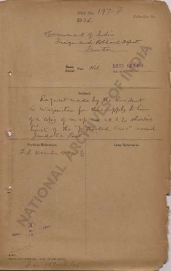
- Request made by the Resident in Waziristan for the...
- Department: Foreign
- Branch: Frontier-B
- Year / Date: 1893
-
- 493 Views
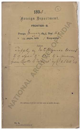
- Supply by Intelligence Branch of 9 copies of Notes...
- Department: Foreign
- Branch: Frontier-B
- Year / Date: 1893
-
- 333 Views
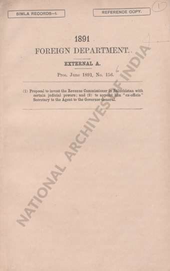
- (1) Proposal to invest the Revenue Commissioner in...
- Department: Foreign
- Branch: Frontier-B
- Year / Date: 1908
-
- 741 Views
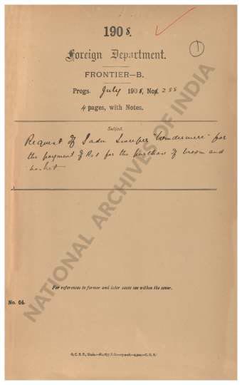
- Request of Sadu Sweeper Windermere for the payment...
- Department: Foreign
- Branch: Frontier-B
- Year / Date: 1909
-
- 453 Views

- Reappropriation of a sum of Rs 106-13-10 from the ...
- Department: Foreign
- Branch: External-B
- Year / Date: 1904
-
- 68 Views
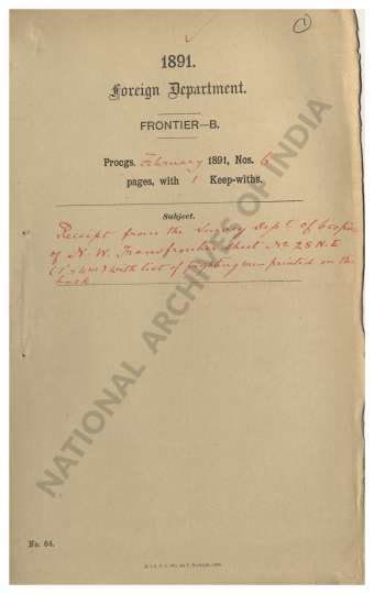
- Receipt from the Survey Dept. of 6 copies of N.W. ...
- Department: Foreign
- Branch: Frontier-B
- Year / Date: 1891
-
- 7 Views
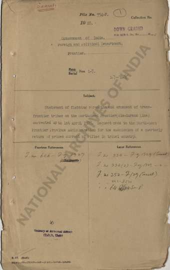
- Statement of fighting strengths and armament of tr...
- Department: Foreign and Political
- Branch: Frontier
- Year / Date: 1928
-
- 16 Views
- Certain Maps of the North Western Trans. Frontier ...
- Department: Foreign
- Branch: Frontier
- Year / Date: 1888-03
-
- 7 Views

- Order in regard to the colonial of the boundaries ...
- Department: Foreign
- Branch: Frontier-B
- Year / Date: 1901