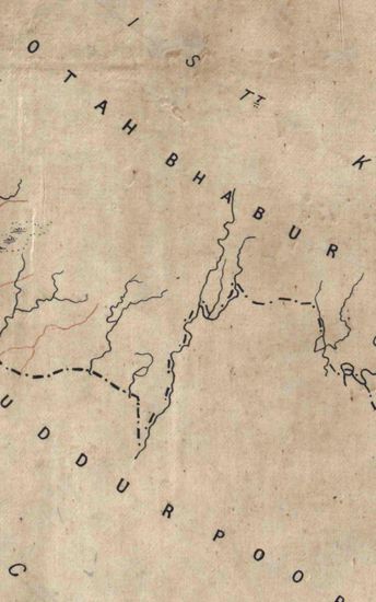
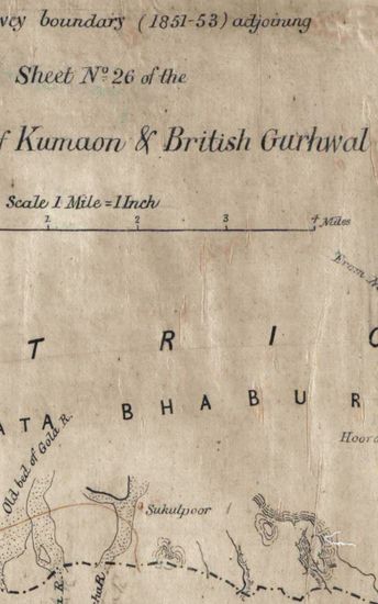
Hooghly River Size of each section: 58 cm x 108 cm, between borders. Each Section in single sheet.Coordinates drawn and numbered; area covered by latitudes from 220N to 22025’N and longitudes 87055’E to 880 25N and longitudes 87055 ‘E to 88025 ‘E shown; section7B and 7E blank; other contain only the outline of the river, with nothing written on the maps.
| Department | Survey Of India (Maps) |
| Place | Hooghly River |
| Series | Cartographic Notes |
| Identifier | CR_000002286601 |
| File No. | 1841-60-7(L) |
| Scale | 58 cm x 108 cm |
| File Size | 5.4 MB |
| Pages | 1 |
| Collection | Digitized Cartographic Records |
| Series | Cartographic Notes |
-
83 views
Other Similar Items
-
- 193 Views
- Hazara Size : 139.8 cm x 177.8 cm, between borders...
- Department: Survey Of India (Maps)
-
- 182 Views
- Hazara Size : 139.8 cm x 177.8 cm, between borders...
- Department: Survey Of India (Maps)
-
- 186 Views

- Hazara Size : 139.8 cm x 177.8 cm, between borders...
- Department: Survey Of India (Maps)
-
- 362 Views
- Kashmir Size: 122.1 cm x 128.8 cm, between borders...
- Department: Survey Of India (Maps)
-
- 566 Views
- Kashmir Size: 122.1 cm x 128.8 cm, between borders...
- Department: Survey Of India (Maps)
-
- 359 Views
- Kumaon Size of map 35: 78.0 cm x 134.5 cm, actual ...
- Department: Survey Of India (Maps)
-
- 244 Views
- Kumaon Size of map 35: 78.0 cm x 134.5 cm, actual ...
- Department: Survey Of India (Maps)
-
- 261 Views
- Kumaon Size of map 35: 78.0 cm x 134.5 cm, actual ...
- Department: Survey Of India (Maps)
-
- 289 Views
- Kumaon Size of map 35: 78.0 cm x 134.5 cm, actual ...
- Department: Survey Of India (Maps)
-
- 281 Views
- Kumaon Size of map 35: 78.0 cm x 134.5 cm, actual ...
- Department: Survey Of India (Maps)