Sketch map of routes traversed by Europeans and Asiatic explorers beyond the British Frontier in connection with the operations of the Trignometrical Branch Survey of India from 1865 to 1883, scale 1 inch=64 miles is not to be treated as confidential
| Keywords | Military Department Calcutta |
| Department | Foreign |
| Branch | Frontier-B |
| From Year / Date (YYYY-MM-DD) |
1892 |
| To Year / Date (YYYY-MM-DD) |
1892 |
| Identifier | PR_000004112462 |
| File No. | 149/150 |
| Location | Repository-3 |
| File Size | 6.1 MB |
| Pages | 12 |
| Collection | Digitized Public Records Foreign |
| Language | English |
-
5 views
Other Similar Items
-
- 4 Views

- Sketch of routes traversed by European and Asiatic...
- Department: Foreign
- Branch: Frontier
- Year / Date: 1892-04
-
- 513 Views
- Request made by the Resident in Waziristan for the...
- Department: Foreign
- Branch: Frontier-B
- Year / Date: 1893
-
- 498 Views
- Supply by Intelligence Branch of 9 copies of Notes...
- Department: Foreign
- Branch: Frontier-B
- Year / Date: 1893
-
- 465 Views
- Translation by Lt. Redl of George Sehwein furth's ...
- Department: Foreign
- Branch: External-B
- Year / Date: 0158-07-11
-
- 457 Views

- Reappropriation of a sum of Rs 106-13-10 from the ...
- Department: Foreign
- Branch: External-B
- Year / Date: 1904
-
- 70 Views
- Receipt from the Survey Dept. of 6 copies of N.W. ...
- Department: Foreign
- Branch: Frontier-B
- Year / Date: 1891
-
- 708 Views
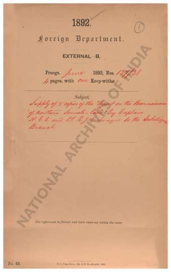
- Supply of 5 copies of the Report on the Reconnaiss...
- Department: Foreign
- Branch: External-B
- Year / Date: 1892
-
- 336 Views
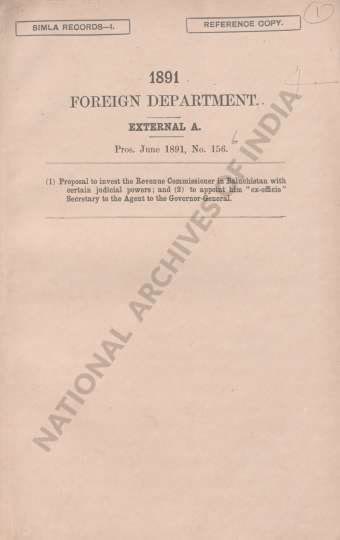
- (1) Proposal to invest the Revenue Commissioner in...
- Department: Foreign
- Branch: Frontier-B
- Year / Date: 1908
-
- 744 Views
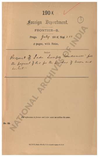
- Request of Sadu Sweeper Windermere for the payment...
- Department: Foreign
- Branch: Frontier-B
- Year / Date: 1909
-
- 16 Views

- Certain Maps of the North Western Trans. Frontier ...
- Department: Foreign
- Branch: Frontier
- Year / Date: 1888-03
