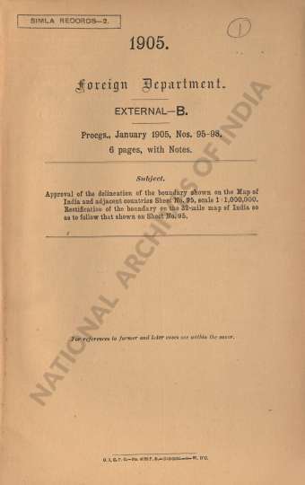
Approval of the delineation of the boundary shown on the Map of India and adjacent countries Sheet No. 95, scale 1: 100000. Rectification of the boundary on the 32-mile map of India so as to follow that shown on Sheet No. 95
| Keywords | B. Holloway Military Department |
| Department | Foreign |
| Branch | External-B |
| From Year / Date (YYYY-MM-DD) |
1905-01-01 |
| To Year / Date (YYYY-MM-DD) |
1905-01-31 |
| Identifier | PR_211200014789 |
| File No. | 95-98 |
| Location | Repository-3 |
| File Size | 3.5 MB |
| Pages | 8 |
| Collection | Digitized Public Records Foreign |
| Language | English |
-
3 views
Other Similar Items
-
- 5 Views
- Approval of the boundary's delineation as depicted...
- Department: Foreign
- Branch: External-B
- Year / Date: 1905-01-01
-
- 9 Views

- Approval of the delineation of the boundary shown ...
- Department: Foreign
- Branch: External
- Year / Date: 1905-01
-
- 468 Views
- Translation by Lt. Redl of George Sehwein furth's ...
- Department: Foreign
- Branch: External-B
- Year / Date: 0158-07-11
-
- 460 Views

- Reappropriation of a sum of Rs 106-13-10 from the ...
- Department: Foreign
- Branch: External-B
- Year / Date: 1904
-
- 708 Views
- Supply of 5 copies of the Report on the Reconnaiss...
- Department: Foreign
- Branch: External-B
- Year / Date: 1892
-
- 519 Views
- Request made by the Resident in Waziristan for the...
- Department: Foreign
- Branch: Frontier-B
- Year / Date: 1893
-
- 5 Views

- Approval to the delineation of a portion of the Bu...
- Department: Foreign and Political
- Branch: Frontier-B
- Year / Date: 1921
-
- 12 Views
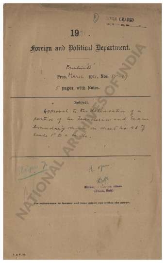
- Approval to the delineation of a portion of the Te...
- Department: Foreign and Political
- Branch: Frontier-B
- Year / Date: 1921
-
- 748 Views
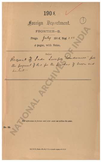
- Request of Sadu Sweeper Windermere for the payment...
- Department: Foreign
- Branch: Frontier-B
- Year / Date: 1909
-
- 7 Views
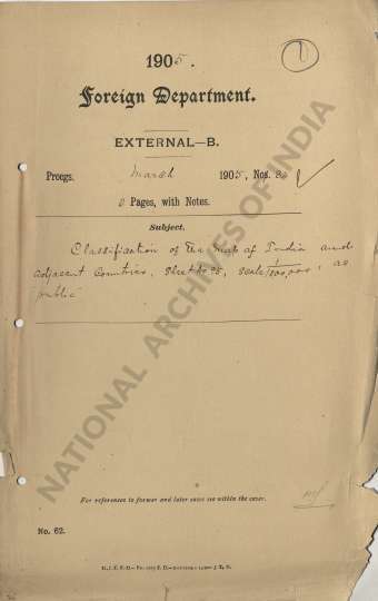
- Classification of the map of India and Adjacent Co...
- Department: Foreign
- Branch: External-B
- Year / Date: 1905-01-03