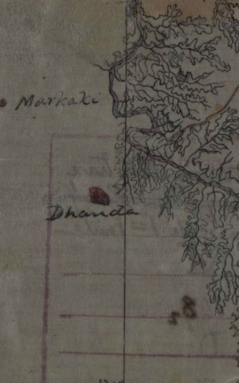
KHERA Mayo Salt mines (Kherwa ) Survey of the Hill in which the mines are situated with contour lines from 100 to 100 feet and the surrounding Gorges and surveyed of th future working pln .1870.
| Department | Survey Of India (Maps) |
| From Year / Date (YYYY-MM-DD) |
1870 |
| To Year / Date (YYYY-MM-DD) |
1870 |
| Place | Khera |
| Series | Historical Maps |
| Identifier | CR_000002286597 |
| File No. | F11-17 |
| Scale | 1 - 100 Feet. |
| File Size | 8.2 MB |
| Pages | 1 |
| Collection | Digitized Cartographic Records |
| Series | Historical Maps |
-
118 views
Other Similar Items
-
- 453 Views

- Reappropriation of a sum of Rs 106-13-10 from the ...
- Department: Foreign
- Branch: External-B
- Year / Date: 1904
-
- 457 Views
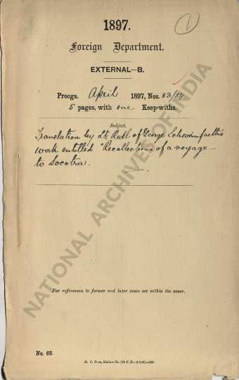
- Translation by Lt. Redl of George Sehwein furth's ...
- Department: Foreign
- Branch: External-B
- Year / Date: 0158-07-11
-
- 703 Views
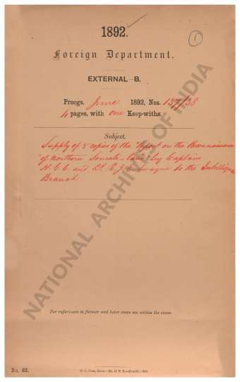
- Supply of 5 copies of the Report on the Reconnaiss...
- Department: Foreign
- Branch: External-B
- Year / Date: 1892
-
- 432 Views
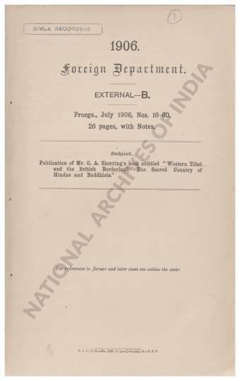
- Publication of Mr. C.A. Sherring's book entitled W...
- Department: Foreign
- Branch: External-B
- Year / Date: 1906
-
- 537 Views
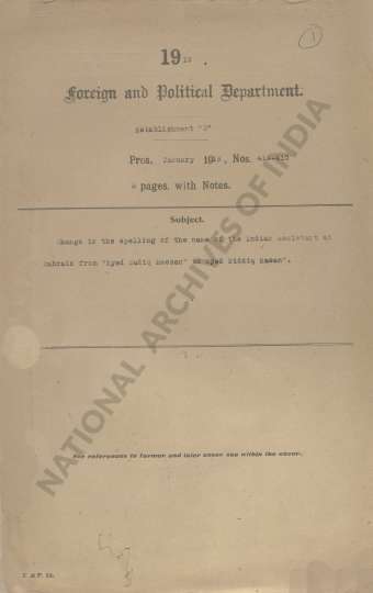
- Change in the spelling of the name of the Indian A...
- Department: Ministry of Home Affairs
- Branch: Public I
- Year / Date: 1966
-
- 204 Views
- Jhelum Size 116.0 cm x 188.3 cm ,actual area; in s...
- Department: Survey Of India (Maps)
-
- 195 Views
- Jhelum Size 116.0 cm x 188.3 cm ,actual area; in s...
- Department: Survey Of India (Maps)
-
- 206 Views
- Jhelum Size 116.0 cm x 188.3 cm ,actual area; in s...
- Department: Survey Of India (Maps)
-
- 243 Views

- Jhelum Size 116.0 cm x 188.3 cm ,actual area; in s...
- Department: Survey Of India (Maps)
-
- 218 Views
- Jhelum Size 116.0 cm x 188.3 cm ,actual area; in s...
- Department: Survey Of India (Maps)