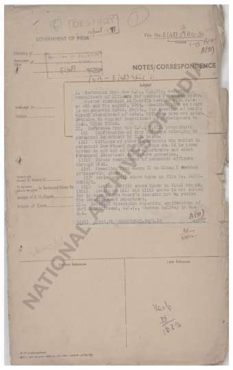
(I) Indication of the Inter-Provincial boundaries of China also the boundaries between (i) China & Tibet. (II) India & Tibet. (III) China & Burma. (iv) China and the war statesof China & Tibet according to G/I`s Conception as well as the defacte Sino-Tibetan Frontier closed on Mr. Merel`s map. (II) Supply of in formillion in (i) Above to S.E.A. Command.
| Department | External Affairs |
| Branch | External |
| From Year / Date (YYYY-MM-DD) |
1944 |
| To Year / Date (YYYY-MM-DD) |
1944 |
| Identifier | PR_000001628959 |
| File No. | Progs., Nos. 79-X, 1944 |
-
26 views

The National Archives of India is on a mission to digitize and make available online each and every record in its repositories. This is an ongoing effort and some records will be made available before the others.
Hereby you can give us your request for a particular record and we shall digitize and make it available on priority, at a fee, subject to its availability in legitimate conditions.
Other Similar Items
-
- 318 Views
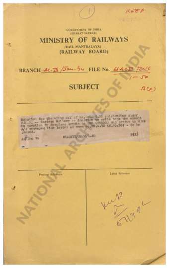
- Outstanding under U-Remittances- Accounts with Sta...
- Department: Ministry of Railway
- Branch: Accounts III
- Year / Date: 1968
-
- 172 Views
- Change in the name of Village Mayuram as Mayiladut...
- Department: Ministry of Railway
- Branch: Accounts III
- Year / Date: 1968
-
- 261 Views
- 1) Change in the name of Railway Station Koliwada ...
- Department: Ministry of Railway
- Branch: Accounts III
- Year / Date: 1968
-
- 17 Views
- Dispute over China-Tibet India Boundaries with map...
- Department: External Affairs
- Branch: External
- Year / Date: 1943
-
- 460 Views

- Reappropriation of a sum of Rs 106-13-10 from the ...
- Department: Foreign
- Branch: External-B
- Year / Date: 1904
-
- 2 Views
- Consideration of the question whether such class I...
- Department: Ministry of Railway
- Branch: Establishment Gazetted Promotion
- Year / Date: 1968
-
- 6 Views

- Shri Jangde. Unstarred Question No. 1814 on the 13...
- Department: Ministry of Railway
- Branch: Establishment Welfare
- Year / Date: 1956
-
- 5 Views

- Integral Coach Factory, Perambur. Reference from t...
- Department: Ministry of Railway
- Branch: Establishment Welfare
- Year / Date: 1966
-
- 2 Views
- I. Reference from the G.M., N.E. Railway regarding...
- Department: Ministry of Railway
- Branch: Establishment Gazetted Recruitment
- Year / Date: 1956
-
- 24 Views
- Map showing the differences between the Chinese co...
- Department: External Affairs
- Branch: Central Asia
- Year / Date: 1945